Integrated Data Services

Hight-Quality Geospatial Data Analysis, Accurate and Insightful Change Detection.

Discover the power of data analysis and geospatial insights with our cutting-edge satellite analytics services.

Through advanced algorithms applied to high-quality, multi-source, and multi-resolution satellite imagery, we provide a comprehensive solution for businesses seeking efficiency and intelligence.

Data Analytics

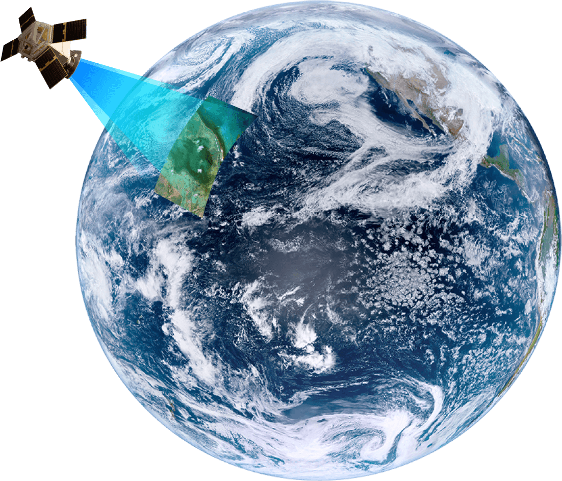
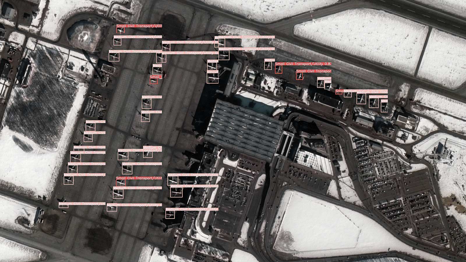
Our satellite data analytics delivers a spectrum of advantages across multiple industries. It revolutionizes decision-making by providing high-resolution data, empowering informed choices while minimizing uncertainty.

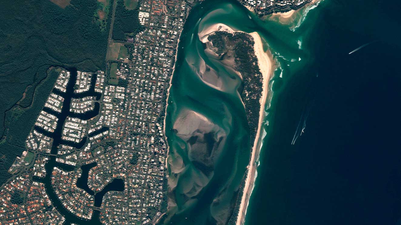
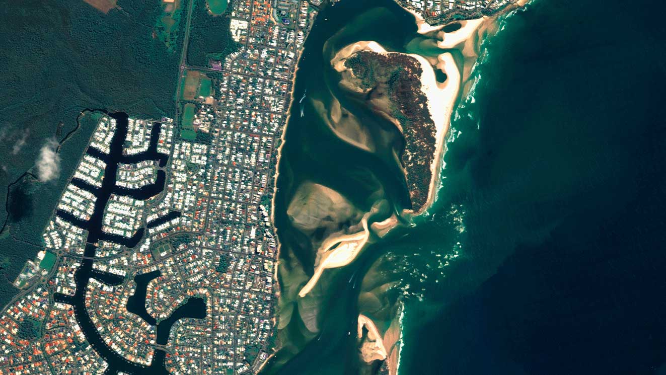
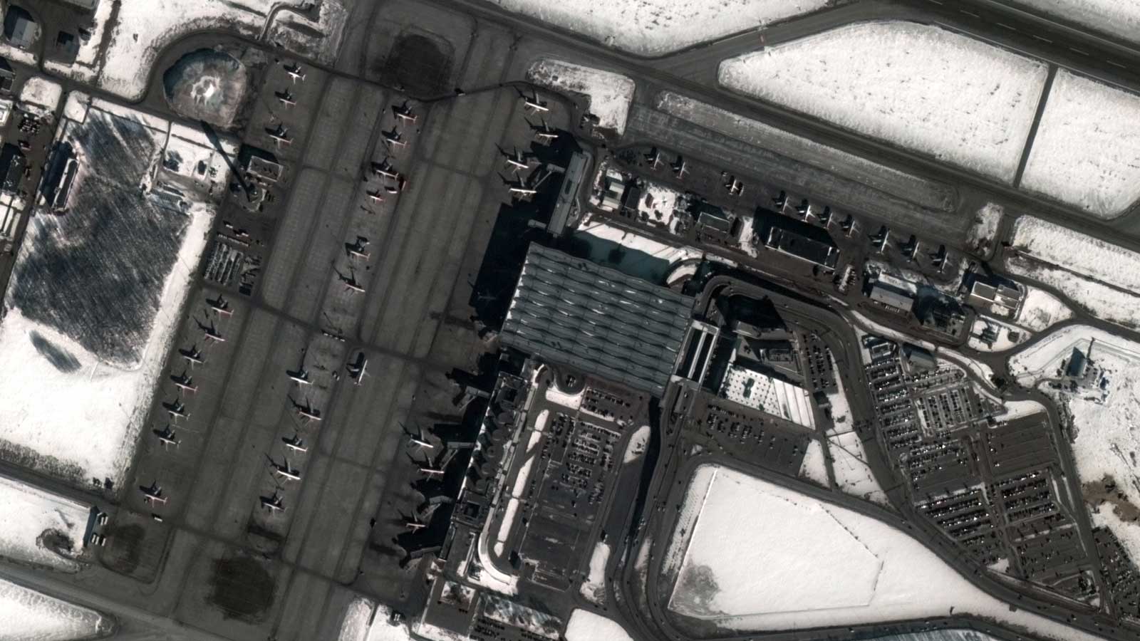
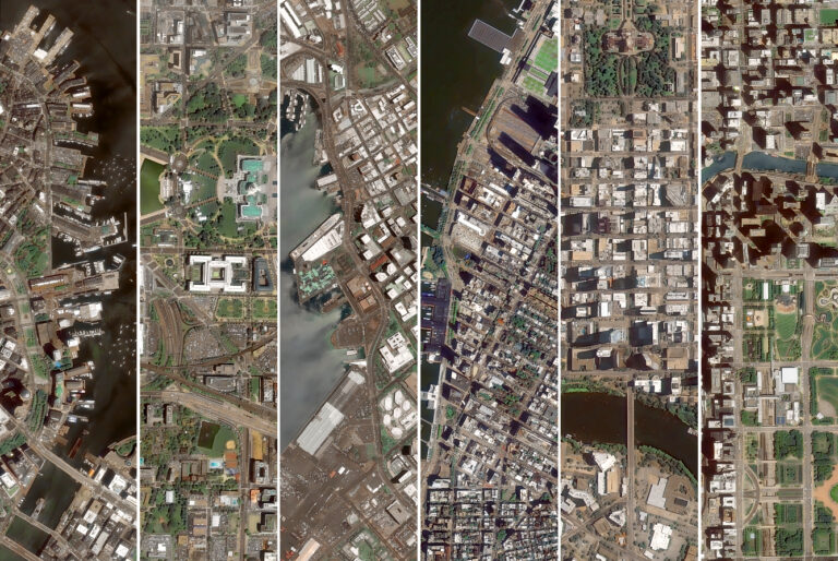
This approach significantly reduces costs by replacing physical reconnaissance with remote data capture. Plus, it enhances planning precision in urban development, agriculture, disaster response, and infrastructure management.

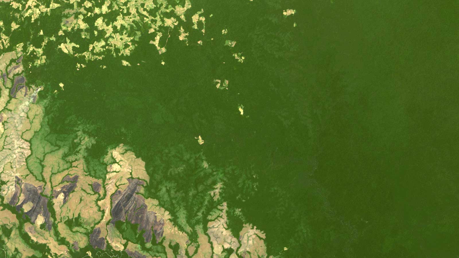
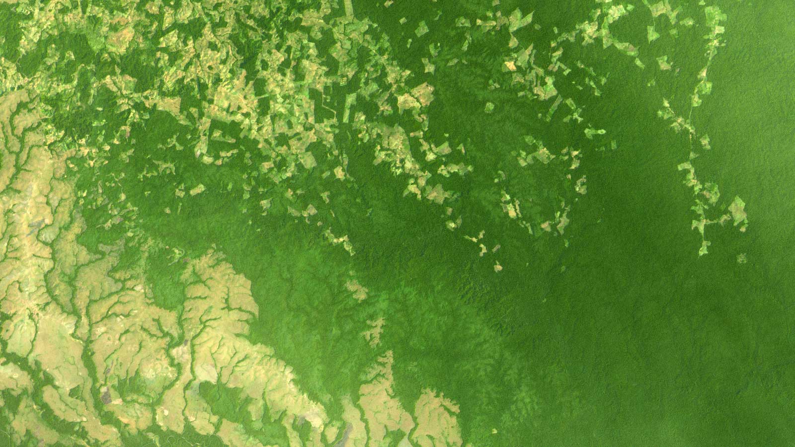
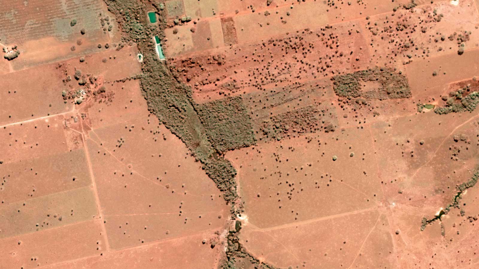
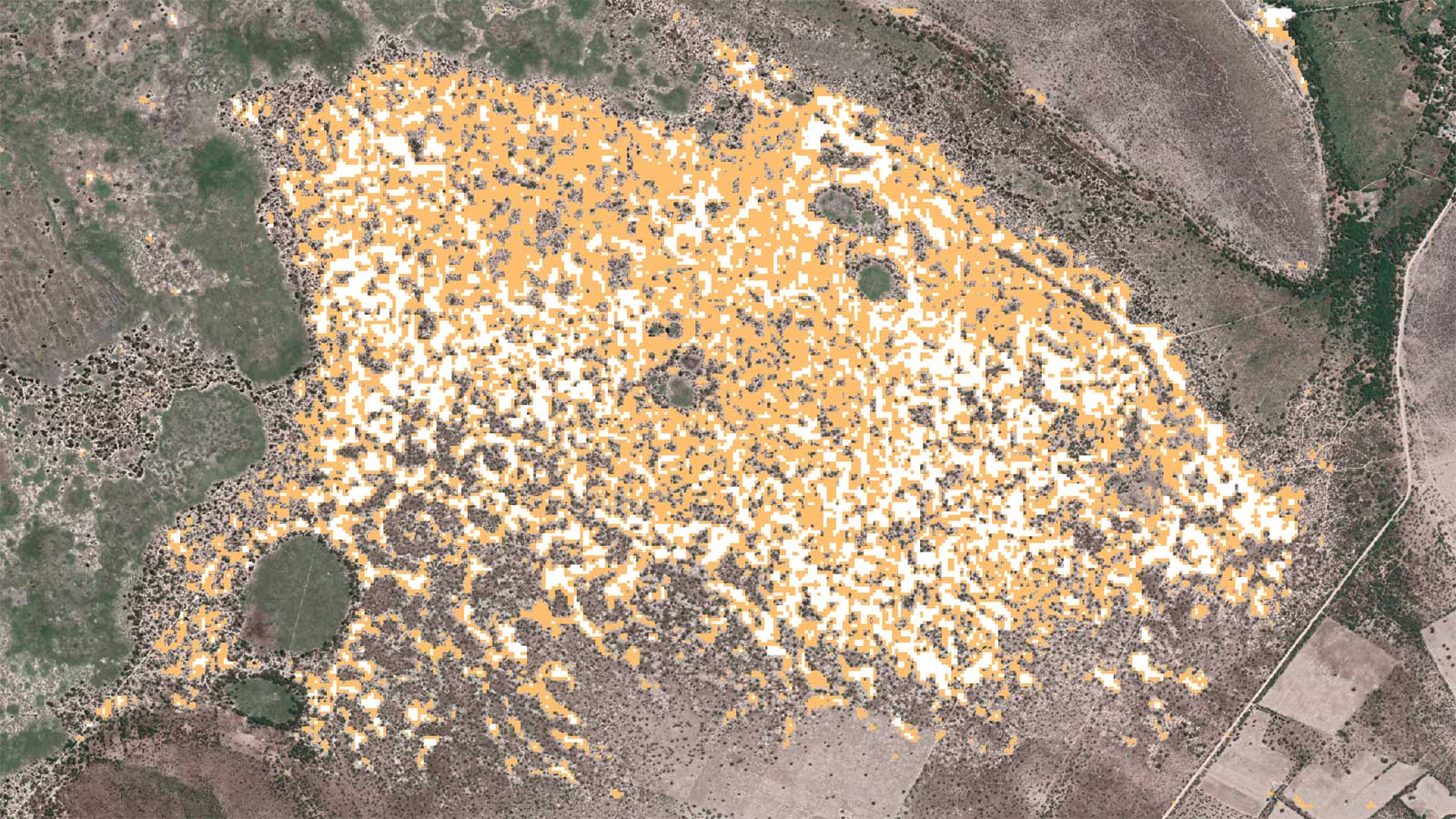
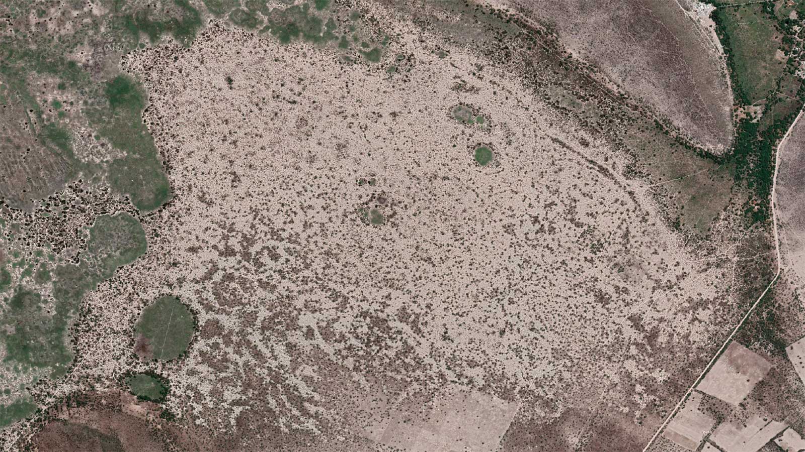
Our capacity to track landscape changes is key to environmental monitoring, conservation efforts, and climate studies. Sectors like insurance and defense can benefit from our ability to mitigate risks, optimize operations in supply chains, and foster innovation through data accessibility.

In short, our satellite analytics services are valuable for numerous contexts, being a vital tool for multiple industries and authorities in an ever-evolving world.

OUR KEY FEATURES

Change Detection

Our sensors are capable of multitemporal revisits in a very short period of time, providing high-quality, multi-source, multiresolution satellite imagery and a daily multisensor mosaic. We also provide change detection solutions that are vital for better decision-making across multiple applications and markets.

Our extensive satellite image archive, coupled with our 24/7 tasking service, allows us to blend real-time and previous data through satellite imagery analytics. This enables a profound analysis of events, understanding changes, and assisting businesses in making optimal decisions.

AI Feature Detection

We do satellite data analytics by applying artificial intelligence and machine learning algorithms to our satellite imagery, achieving comprehensive services that extract maximum information. This unlocks the full potential of earth observation for your business providing the most powerful geospatial analysis tools. With AI applied to our images, we can rapidly extract information such as Objects/Area Detection and Material Detection that adds an additional layer of valuable insights.

These advanced capabilities contribute to data analysis, making our satellite analytics services a key player in the dynamic landscape of geospatial AI companies and the satellite data analytics services market.

Satellite intelligence and data analytics for all

Together with powerful algorithms applied to high resolution satellite imagery, GEOSAT has a team of data analysts ready to assist you in different areas of expertise. Gain valuable insights, monitor change detection and make informed decisions across multiple industries, from the environment to urban planning.
Bribie Island split, Australia
Aral Sea disappearing 2012-2023
Animated slideshow showcasing the ecosystem collapse of the Aral Sea between 2012-2023.
Amazon Deforestation
Amazon Deforestation 2
Love Lake Dubai construction
Airplane Detection
Airplane Detection
Lithium Detection
Lithium-mining-satellite-data-analytics
Ship Detection
Ship Detection

Thanks to our own satellites, together with our partners, we deliver high quality imagery and analytics for high impact insights which result in improved decision making.

Get a demo

Satellite guides download

Download Our Satellites Guide Now and Immerse Yourself in a Wealth of Services Information. Your Gateway to Space Exploration Awaits. Grab Your Guide!
geosat 1 geosat 2

AI Feature Detection

Vessel Detection
Aircraft Detection
Road Detection
House identification
Green Area identification
Lithium detection
and others...

GEOSAT satellite data analytics services