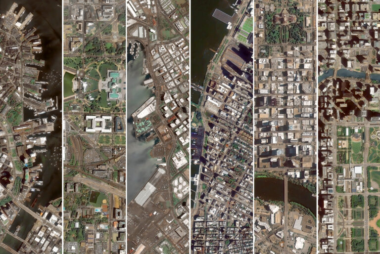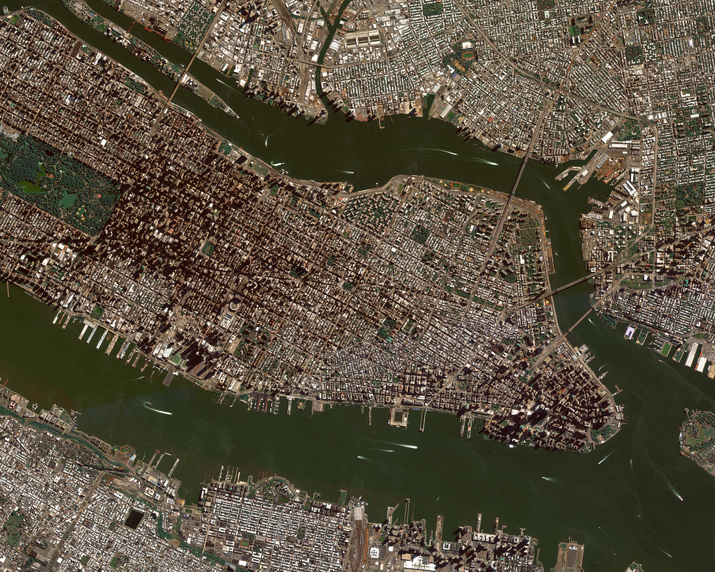
Around the world, the phenomenon of megacities continues to grow, reshaping urban life. These densely populated areas extend beyond the boundaries of individual cities, connected by transportation corridors and shared economies. This process of urbanization has both positive and negative effects: it drives economic growth and opportunities while also triggering congestion, pollution, and inequality. Proper management is key to maximize benefits and minimize negative impacts.
GEOSAT’s geospatial technology provides solutions to address these challenges, from traffic congestion to housing shortages, showing how its innovative techniques shape the cities of the future.
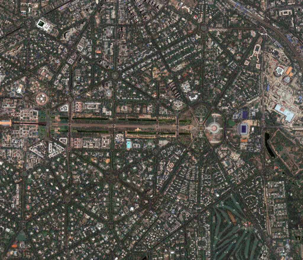
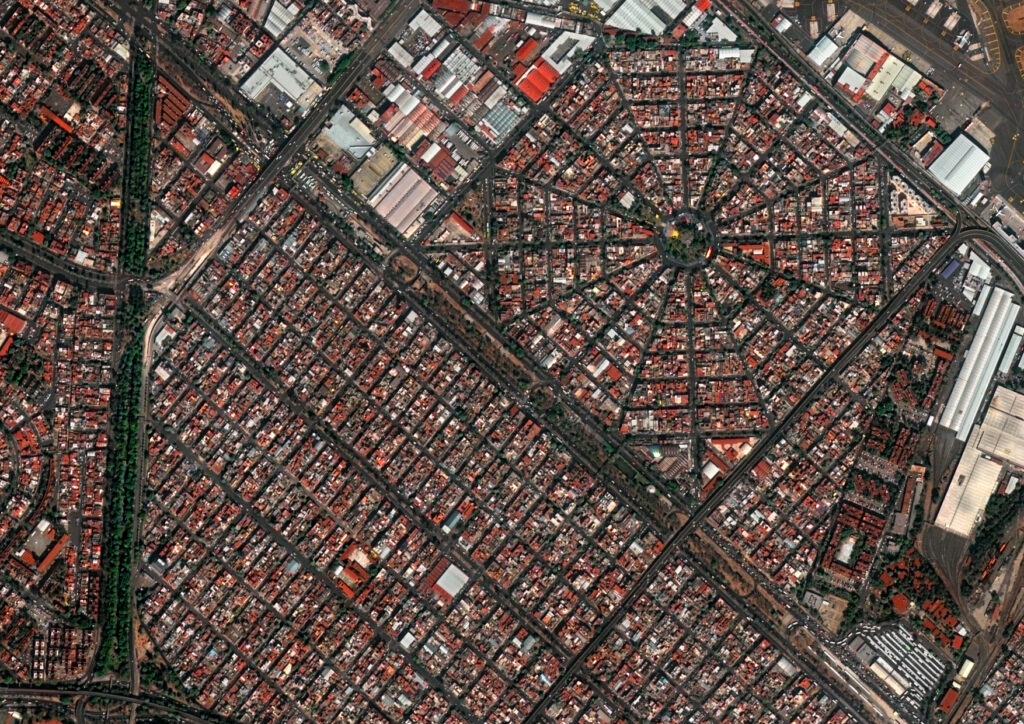

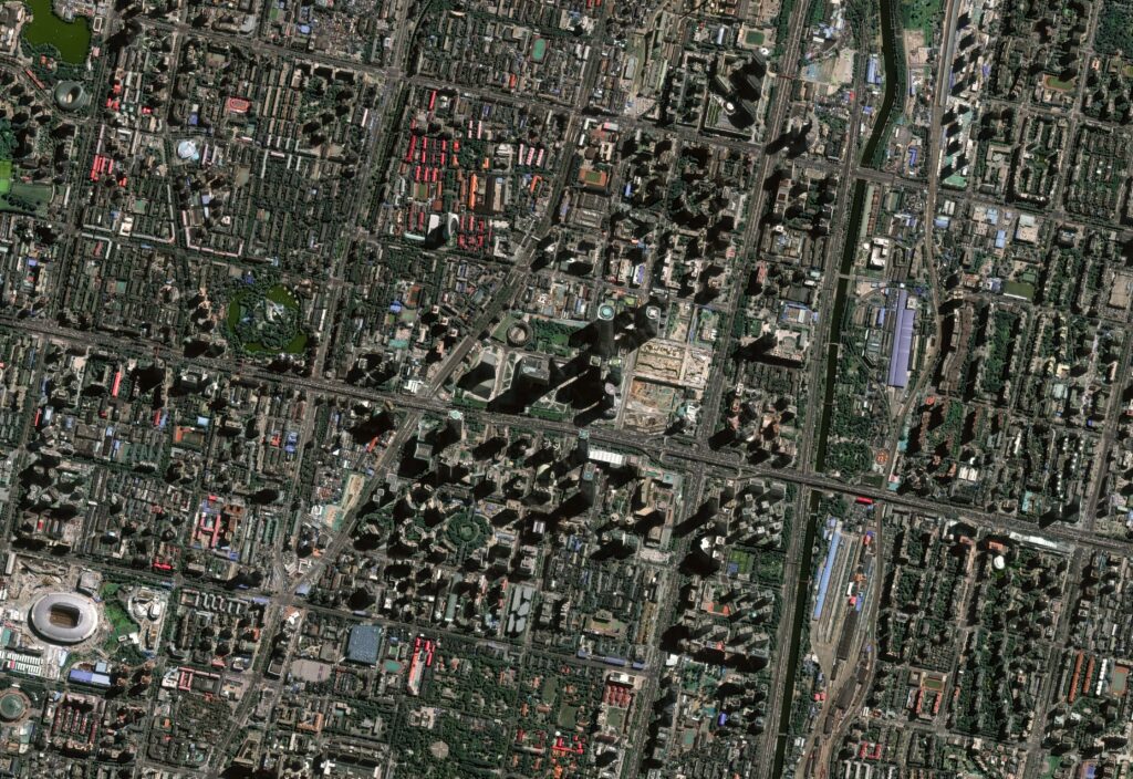
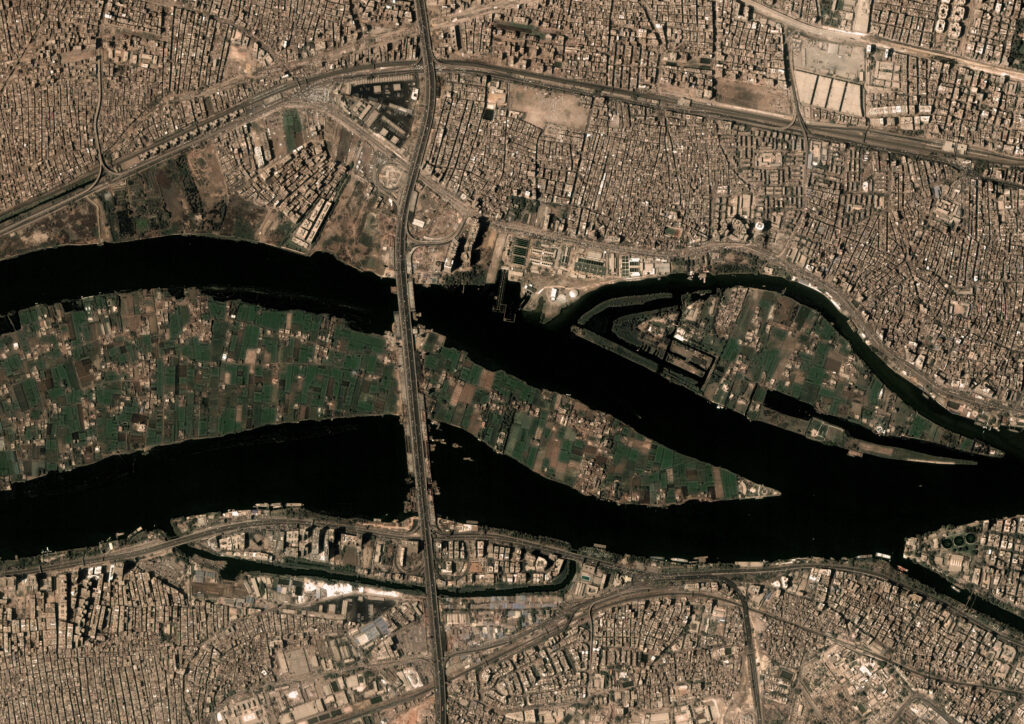
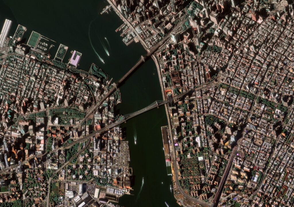
From left to right: New Delhi, Mexico City, Tokyo, Beijing, Cairo.
The benefits of utilizing GEOSAT’s satellite data
- Urban Land Use: GEOSAT’s satellite data provides detailed maps of land use and land cover, helping city planners understand current land use patterns, monitor changes, and make informed decisions about future development.
- 3D Modeling and Urban Sprawl Monitoring: GEOSAT’s High-resolution imagery and data help create 3D models of urban areas, aiding in the visualization of city growth and the planning of infrastructure projects.
- Traffic Flow Analysis: GEOSAT’s satellites monitor traffic patterns and congestion, providing data that helps optimize traffic flow, plan new roadways, and enhance public transportation systems.
- Infrastructure Monitoring: GEOSAT performs continuous monitoring to assess the condition of roads, bridges, and other infrastructure, enabling timely maintenance and upgrades.
- Green Space Management: Monitoring the health and extent of urban green spaces supports the maintenance and expansion of parks and recreational areas, which are vital for urban well-being.
- Flood Risk Mapping and Management: GEOSAT’s satellites provide data on topography, and water bodies, helping predict and manage flood risks. This is crucial for emergency preparedness and response.
- Water Resource Management: GEOSAT’s satellites monitor water bodies and groundwater levels, helping manage water resources effectively in megacities facing water scarcity.
- Waste Management: Tracking waste generation and disposal sites through satellite imagery aids in efficient waste management and planning.
- Population Density and Growth Tracking: GEOSAT’s data helps track population density and urban expansion, informing policies for housing, services, and infrastructure.
- Urban Agriculture Monitoring: GEOSAT’s satellites help monitor urban agriculture initiatives, ensuring efficient use of land for food production and enhancing food security within the city.
- Security and Surveillance: GEOSAT data supports surveillance by providing near real-time monitoring to help authorities ensure public safety.
By leveraging GEOSAT’s satellite data solutions, megacities can enhance their planning, management, and resilience, leading to more sustainable and livable urban environments.
Thanks to our own satellites, together with our partners, we deliver high quality imagery and analytics for high impact insights which result in improved decision making.