Lessons from the 2021 Germany floods
The floods in Germany in 2021 were a stark reminder of how devastating natural disasters can be. The magnitude of the floods caught many off guards and caused significant damage across a wide region. However, amid the tragedy, satellite images played a crucial role in providing accurate and timely data to help authorities deal with the crisis. In this blog, we will explore how satellite images and data derived from them are fundamental tools in managing crises like the 2021 Germany floods.
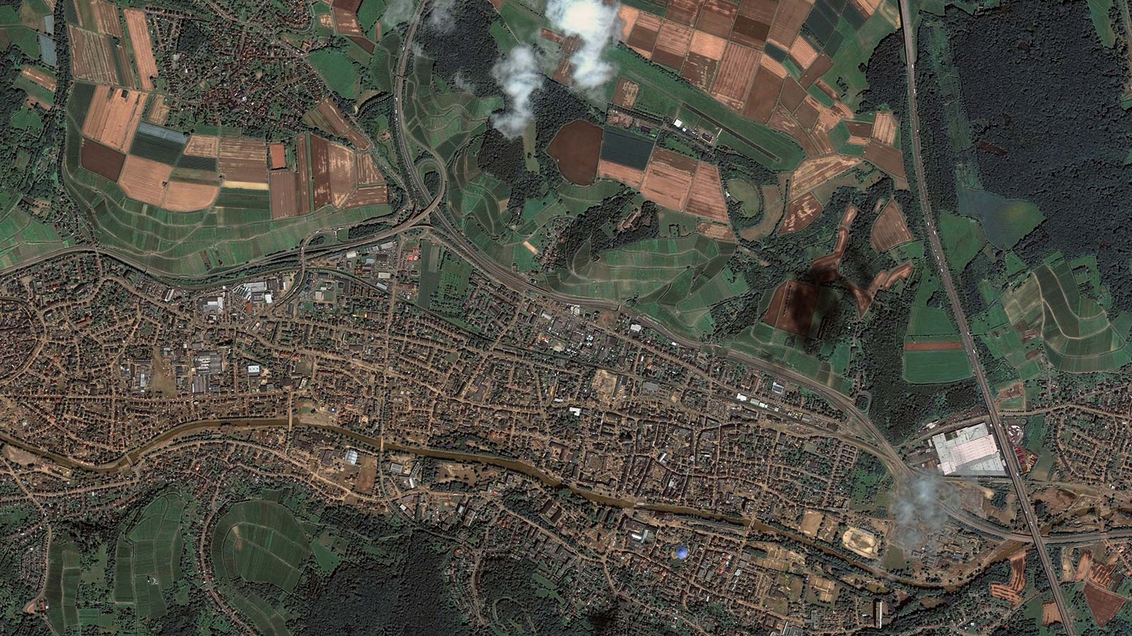
GEOSAT’s satellite insights revolutionizing flood monitoring and emergency response
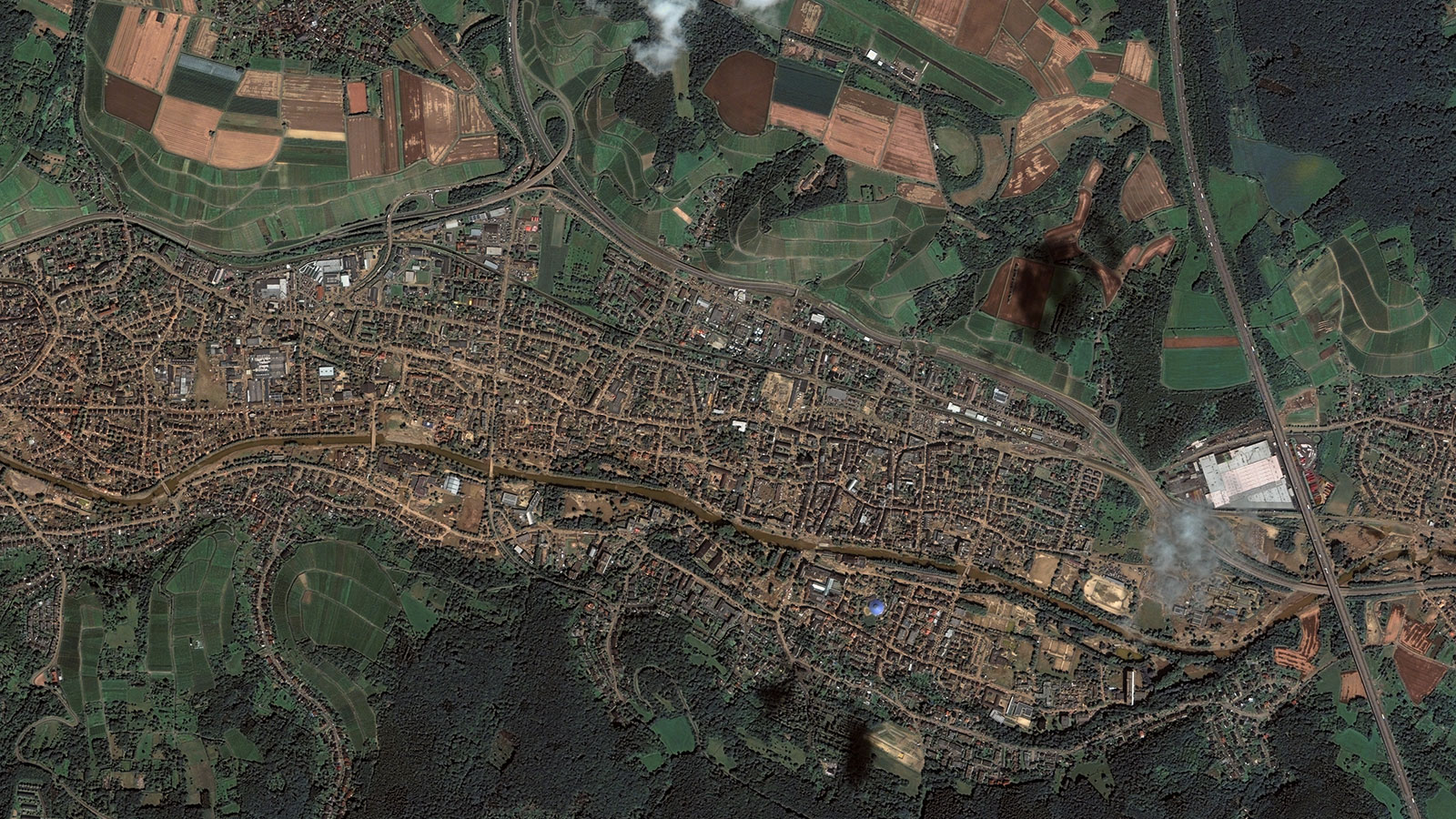
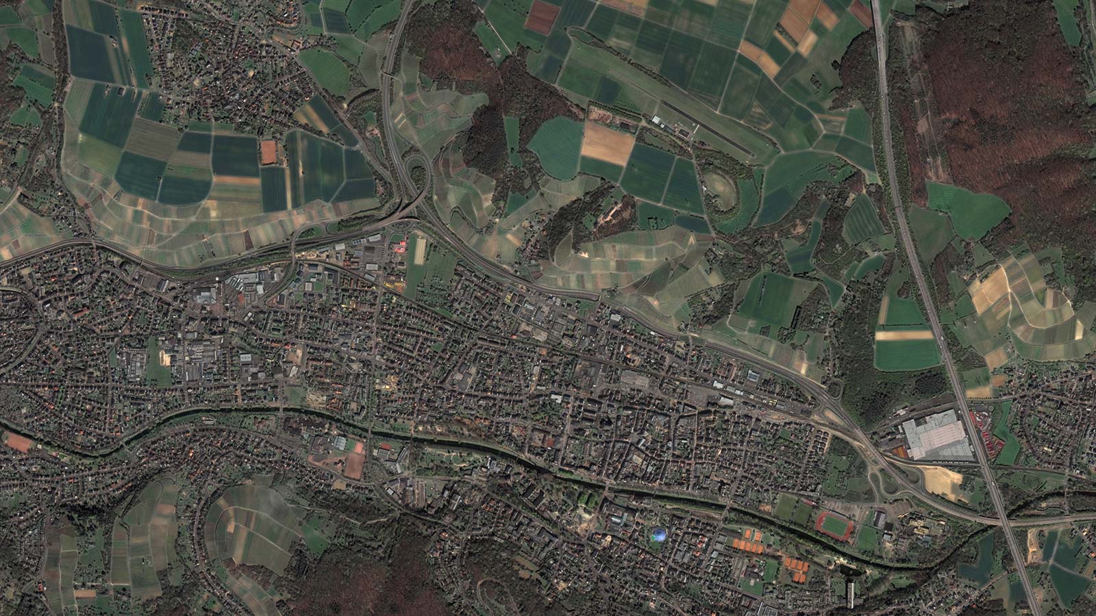
The floods that affected Germany in July 2021 were due to extremely intense rains that led to the swelling of rivers and overflowing in numerous localities. Satellite images played a key role in the following areas:
1. Early Detection and Monitoring
By analyzing the images, the growth of the waters could be tracked, and which areas would be most vulnerable could be anticipated. This information was essential for issuing alerts and planning evacuations in high-risk regions.
2. Rapid Response
Satellite images enable emergency response teams to assess the situation in near real-time and make informed decisions to deploy resources efficiently.
3. Assessment of Damages
After the floods, the extent of the damage was overwhelming. Satellite images provided a detailed aerial view of the affected areas. Geospatial data, combined with before-and-after images, allowed emergency response teams to assess the damages and prioritize their rescue and relief efforts.
4. Planning Evacuation Routes and Access
Damaged roads and bridges hindered emergency response efforts. Satellite images helped identify alternate access routes and safe evacuation paths. This was crucial to ensure that people trapped by the floods could be safely rescued.
5. Resource Management and Humanitarian Aid
Logistics are a significant challenge in crisis situations. Satellite images were crucial for resource management and the distribution of humanitarian aid. They helped determine the location of collection centers, temporary shelters, and areas where assistance was needed most urgently.
The 2021 Germany floods highlighted the importance of space technology and satellite images in crisis management. The ability to obtain accurate and timely data from space has proven essential in disaster planning, response, and recovery. As we face increasingly complex climate and humanitarian challenges worldwide, these tools will continue to play a crucial role in protecting lives and property.
Thanks to our own satellites, together with our partners, we deliver high quality imagery and analytics for high impact insights which result in improved decision making.