VHR Satellite Imagery

Tailored High Resolution Satellite Imagery and Geospatial Data to ensure effective analysis.

Our satellites provide near-real-time insights, achieving global coverage with high spatial resolution and ensuring better coregistration quality for reliable data and analytics.

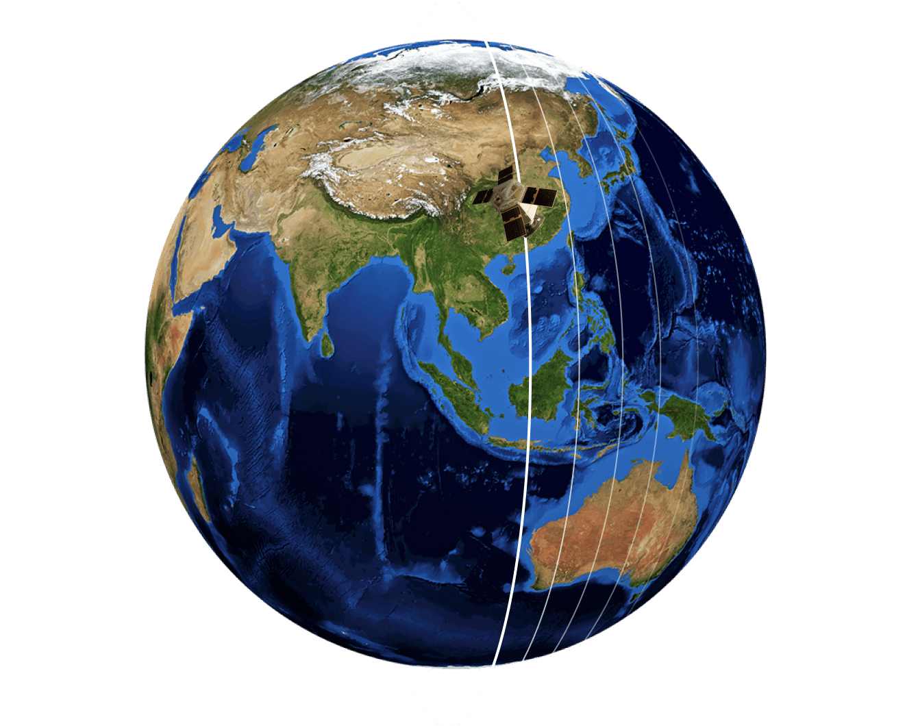
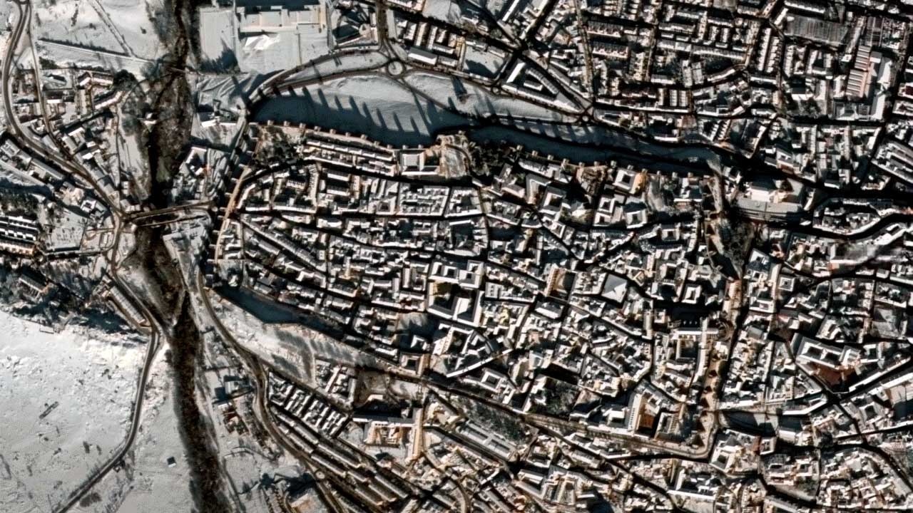
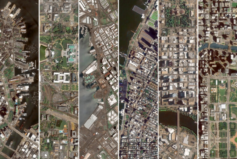
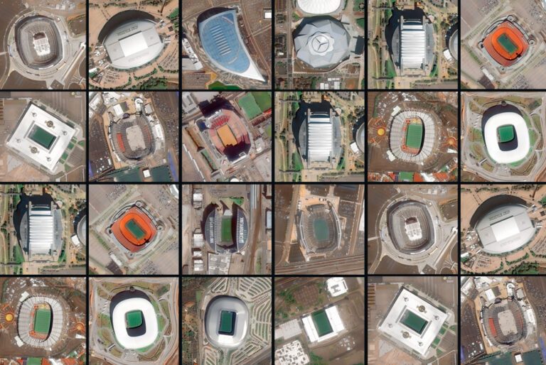
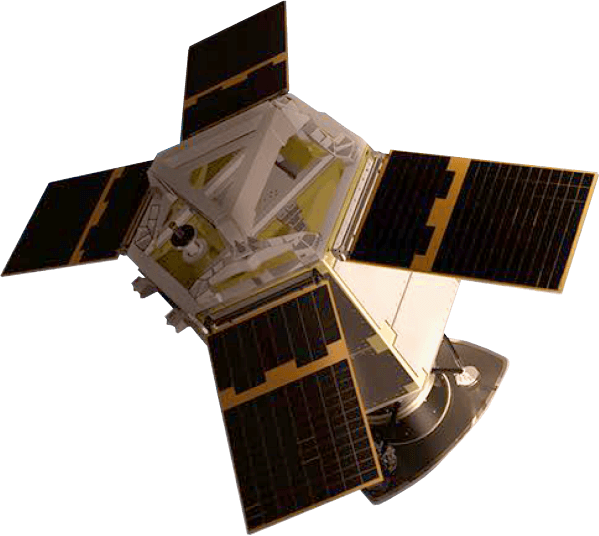
Satellite Imagery Solutions

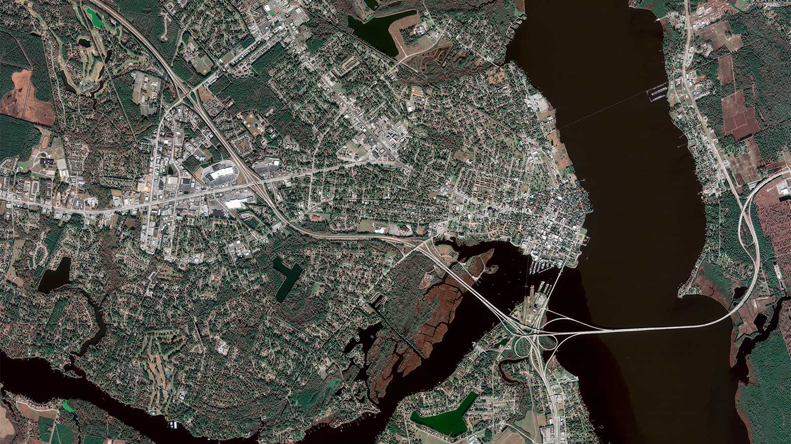
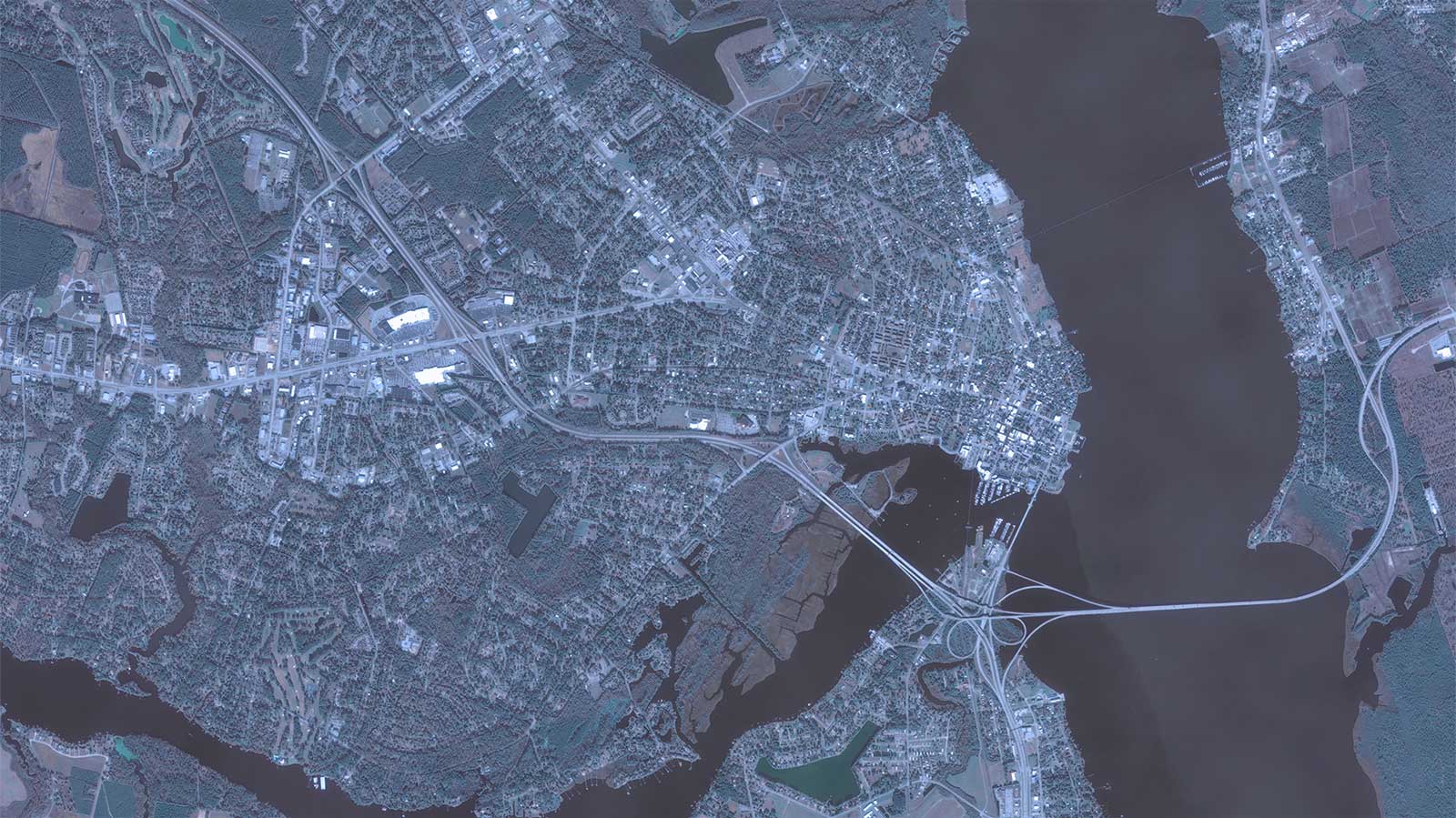
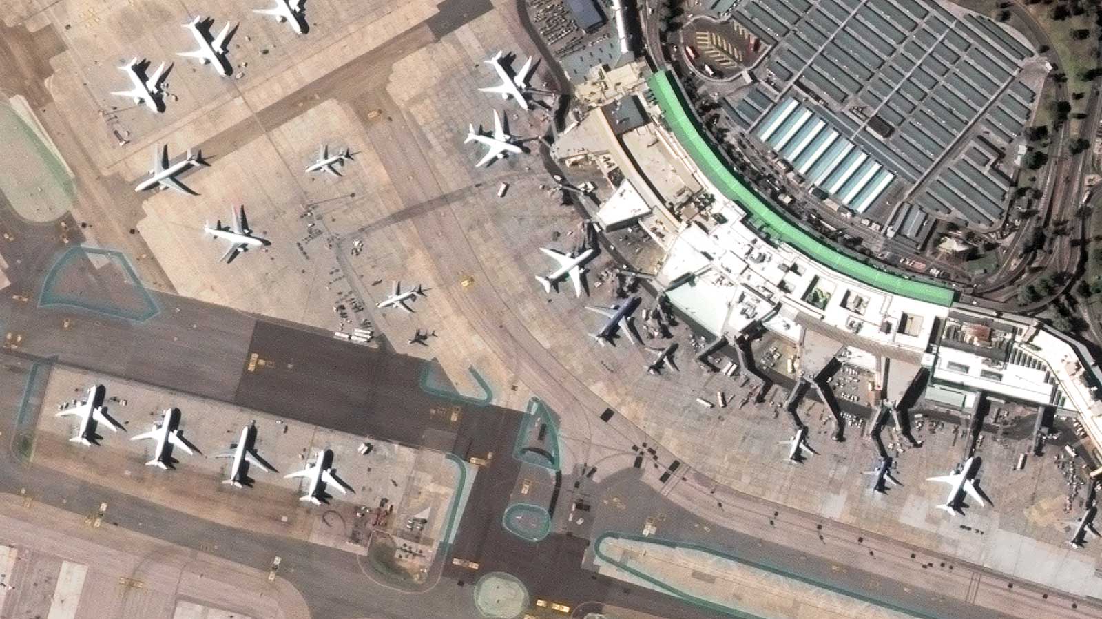
GEOSAT Solutions stand at the forefront of satellite technology, offering unparalleled insights and prime satellite views. Our Medium-Resolution and Very High-Resolution Satellite Imagery, with Super Resolution enhancement at 40cm, ensures detailed assessments over coverages. Access On-Demand Tasking 24/7 for tailor-made solutions through a cloud-based platform.

Explore our 10+ Year Archive Data, enabling long-term monitoring and trend analysis globally. We guarantee Analysis Ready Data, validated by our experienced team, providing reliable intelligence for informed decision-making. Count on our advanced satellite solutions for precise and reliable results.

OUR KEY FEATURES

Medium Resolution and Very High-Resolution Satellite Imagery

Super resolution enhanced pansharpened imagery at 40 cm for detailed assessments and 1,6m scientific level enhanced resolution on each Multispectral data band. High-frequency, multi-resolution monitoring, and Federated Missions imagery (MR, HR and VHR).

Archive Data

We’ve got a 10-year archive of high-resolution multispectral satellite imagery. This extensive archive provides you with the perfect dataset to monitor development over time in any area of the world, assessing the field, detecting changes and patterns, and anticipating certain situations or trends that are relevant to your business.

On-Demand Tasking

We provide you with a 24/7 Tasking and Delivery Service, offering tailor-made solutions in any area of interest, anywhere in the world. Our up-to-date satellite images provide actionable intelligence for your businesses through a cloud-based application environment.

Analysis ready data

Our experienced team validates all data quality and consistency, ensuring reliable, analytics-ready imagery.

Analysis Parameters

GEOSAT very high resolution satellites cover the world in detail. Together with our team of experts and data analytics, we enable you to discover real-time insights and make the most informed decisions.
Pistachio Crops, Fresno, CA, USA
Multispectral image and NDVI index
Perfect coregistration and production
(Image vs BOA. New Bern NC USA with and without)
Super Resolution 40cm & Normal Resolution 75cm
Madrid Airport
Change detection
Multitemporal Images-change detection. Avila snow-summer

Thanks to our own satellites, together with our partners, we deliver high quality imagery and analytics for high impact insights which result in improved decision making.

Get a demo

Satellite guides download

Download Our Satellites Guide Now and Immerse Yourself in a Wealth of Services Information. Your Gateway to Space Exploration Awaits. Grab Your Guide!
Geosat 1 Geosat 2

High Resolution Satellite Imagery Capabilities

(VHR) Very High-Resolution image
Pansharpened Satellite imagery at 40cm for detailed assessments.
Tip & Cue
Multiple resolutions satellite views on the same area for greater identification.
Global Coverage
Our satellites cover all of Earth to respond to your specific needs. Take a look at our mosaic images.
(QRT NRT)
Quasi Real Time and Near Real Time. High-resolution daily satellite imagery and data on your screen down to 20 min after acquisition.
24/7 Tasking and Delivery Service
Providing tailor-made solutions in any area of interest.
API
Access multi-spectral data and satellite imagery with our API
Workflow Integration
We adapt our data and our high-resolution optical satellite imagery to your existing workflow.

Embark on journey with GEOSAT