•
Energy, Mining & Infrastructure
Harnessing oversight and intelligence for dependable decision-making in energy and natural resources
We reveal actionable insights through satellite remote sensing for the management of energy and natural resources throughout the entire production cycle, from upstream to downstream.
Precise Satellite data for Energy, Mining & Infrastructure
With the depletion of natural resources, companies globally are working to meet this increasing demand while minimizing costs and risk. Under a cost-effective approach, GEOSAT provides intelligence, so users can make informed decisions and monitor projects that are often located in remote environments. GEOSAT ’s data plays a pivotal role in mitigating the pain points faced by the Energy, Mining, and Infrastructure sectors.
We aid in monitoring remote assets, we provide satellite images for oil and gas exploration, we assess vegetation health for renewable energy sites, and we provide climate change data and study weather patterns, all crucial for efficient operations. Our satellite data assists in exploration by identifying potential mineral deposits and lithium detection, monitoring land disturbances by detecting soil composition and soil health, and environmental impact assessment. Moreover, our satellite information enables precise mapping, monitoring of structural integrity, and assessing changes in land use for effective planning and maintenance.
Our data provides you with a comprehensive view, aiding decision-making processes, enhancing safety measures, optimizing resource allocation, and supporting sustainable practices across these sectors, ultimately alleviating some of the challenges they encounter.
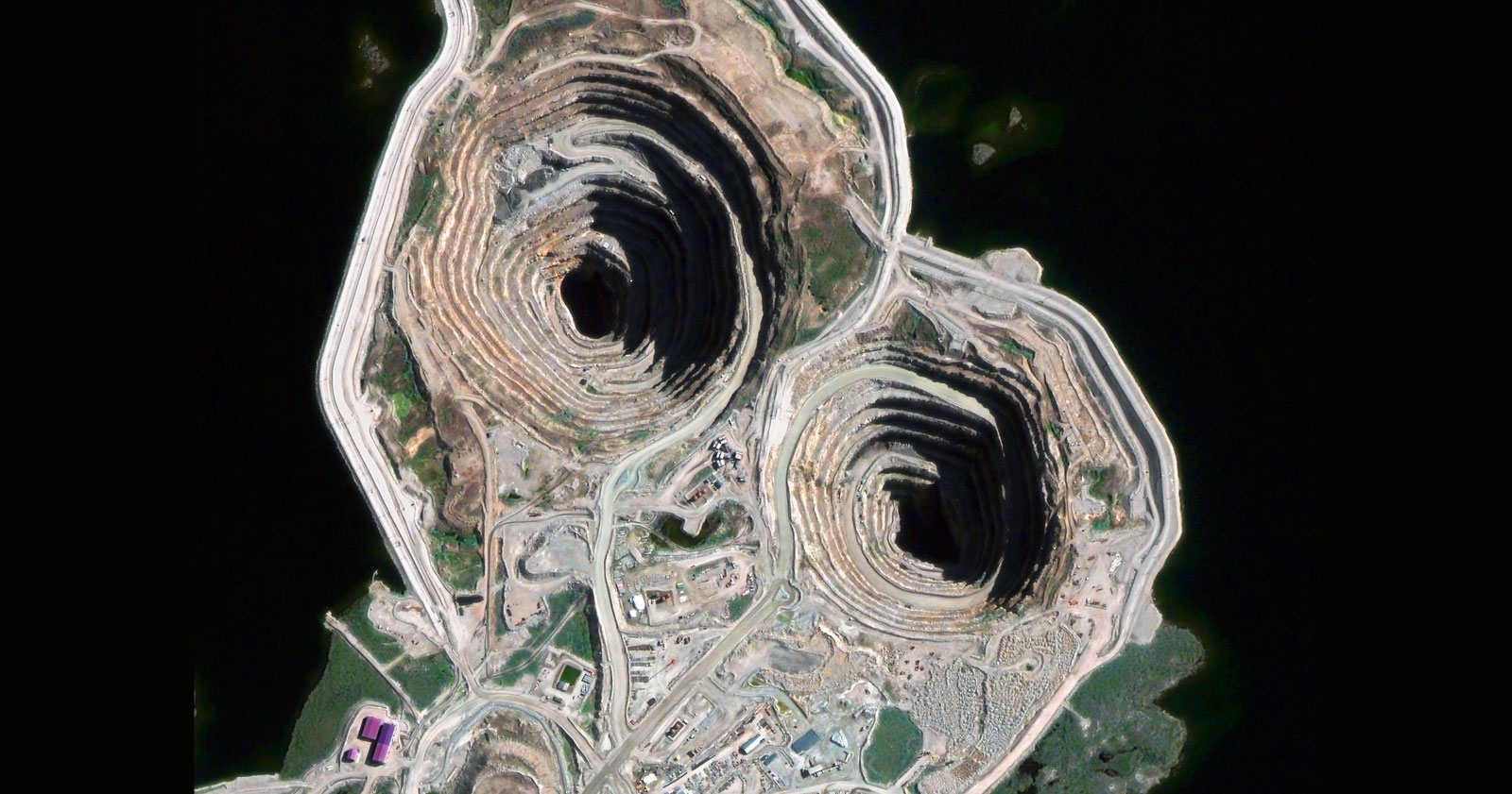
Diavik Mine - Canada
Diavik Mine - Canada
•
Energy and natural resources management through satellite imagery with:

24/7/365 Service
Our dedicated and expert team operates tirelessly around the clock, committed to delivering unparalleled support and solutions tailored to your needs for better management of natural resources.

Multi-spectral data
By examining multiple spectral bands, we can help you extract diverse information and identify unique patterns or features that may not be evident in single-band or visible light images.

HR/VHR Images
Super resolution enhanced pansharpened imagery at 40 cm for detailed assessments and 1,6m scientific level enhanced resolution on each Multispectral data band. High-frequency, multi-resolution monitoring, and Federated Missions imagery (MR, HR, and VHR).

Mosaic Images
We combine multiple satellite images to create seamless compositions that you can use to create accurate maps.

Stereo
Stereo: Our very high-resolution stereoscopic imagery is crucial for developing 3D and Digital Elevation Models.

AI Feature Detection
By integrating satellite data with advanced AI techniques, we achieve efficient detection, analysis, and derivation of valuable insights for the management of energy and natural resources.

Change Detection
We analyze historical changes by providing insights into trends, enabling short and long-term strategies that consider past developments and anticipate future needs. This is crucial for Energy infrastructure monitoring.
Thanks to our own satellites, together with our partners, we deliver high quality imagery and analytics for high impact insights which result in improved decision making.
Get a demo
•
Market Samples
We work to build and deliver customized solutions in a large variety of applications and industries.
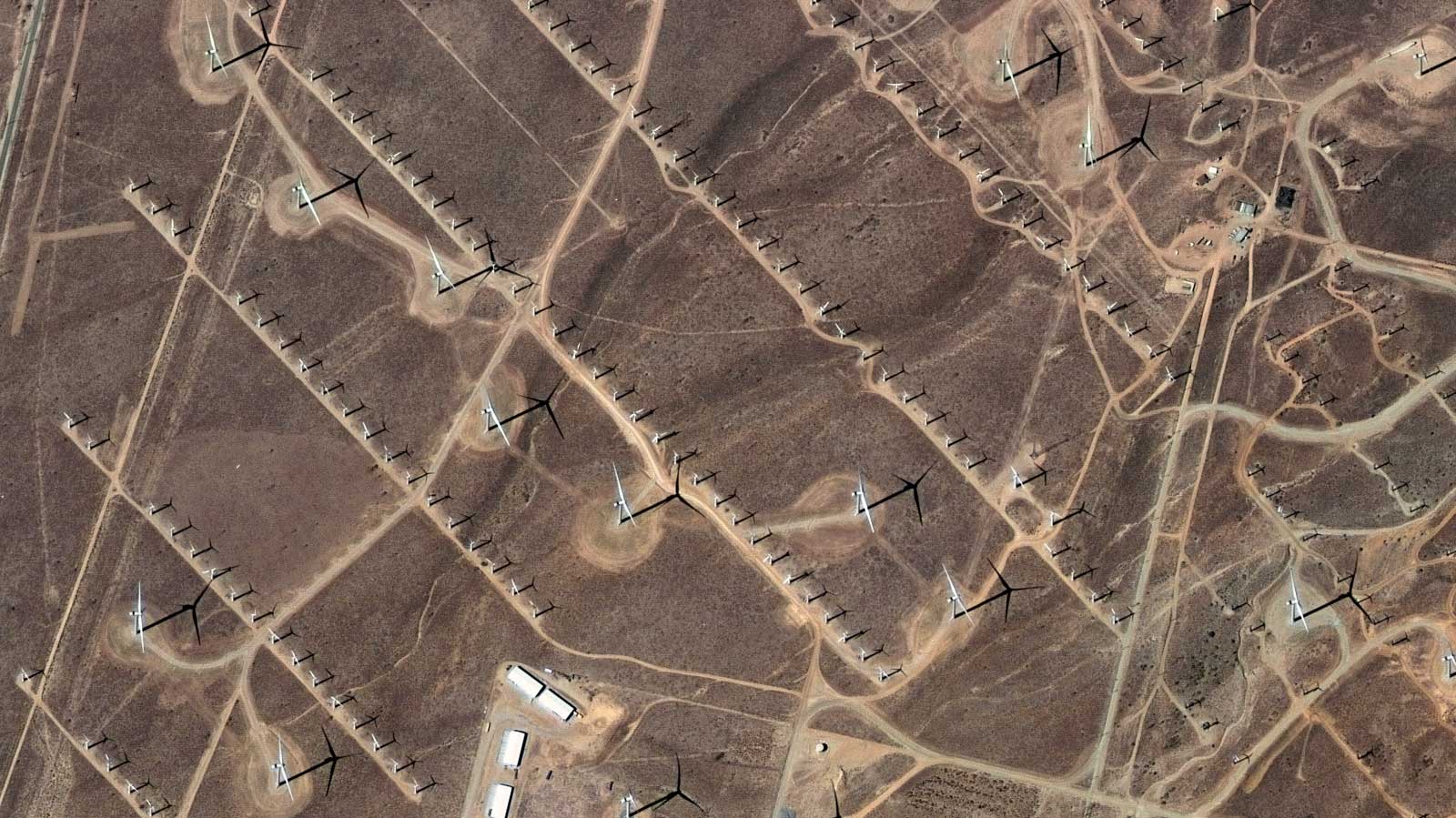
Alta Wind Energy Center, CA, USA.
High Mojave Wind Farm CA US satellite imagery analytics

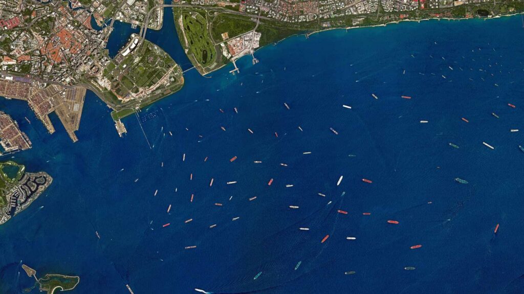
Oil containers in Rotterdam Port, Netherlands
Port of Rotterdam Netherlands high-resolution optical satellite imagery

Copper Mountain Solar Plant in Boulder, NV, USA
Copper Mountain Solar Plant current high-resolution satellite imagery

Buenavista del Cobre Mine, Cananea, Son., Mexico
Buenavista del cobre Cananea México best high-resolution satellite imagery

Mine in Usa
Bingham Canyon Mine Utah USA big data analytics for satellite image processing and remote sensing

Bingham Canyon Mine, Utah, USA
Port of Ningbo Zhoushan China high-resolution optical satellite imagery

La Herradura Mine, Hermosillo, Son., Mexico
Mina La Herradura Sonora México satellite imagery

PS10 Solar Power Plant, Sevilla, Spain
Sevilla Solar Plant real time satellite imagery
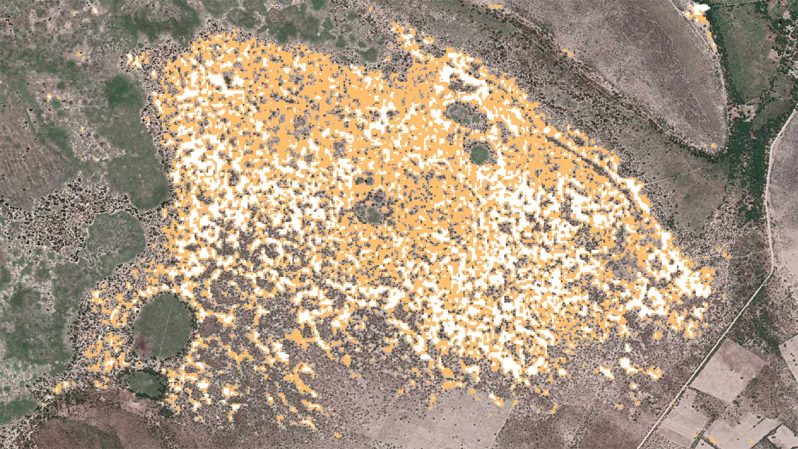
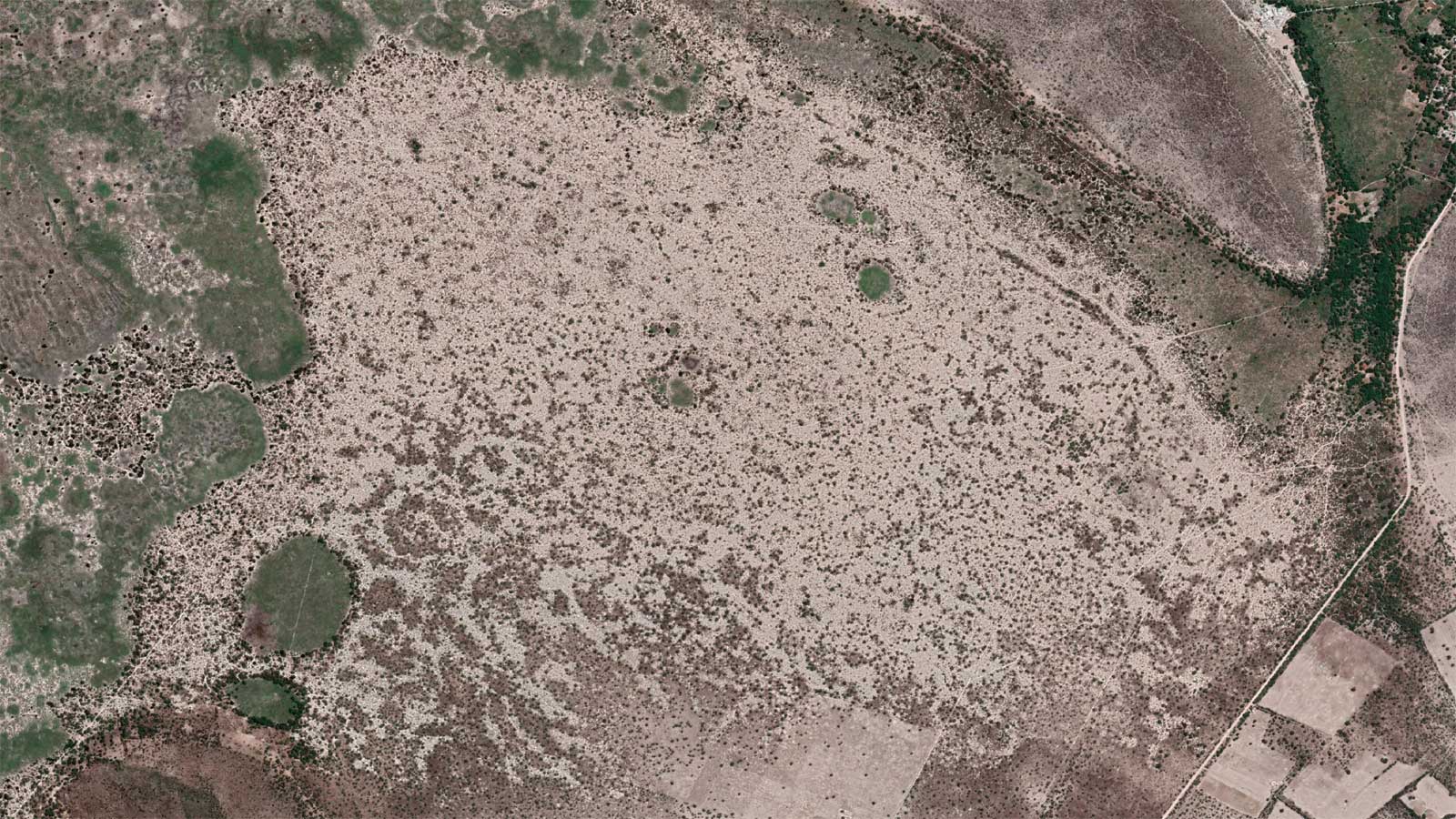

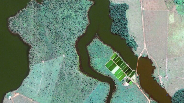
Lithium Detection
Lithium-mining-satellite-data-analytics
•
Satellite imagery can help you managing energy and natural resources through:
Linear infrastructure and asset monitoring
Automated detection of anomalies, potential hazards, or structural issues along pipelines, railways, roads, and transmission lines’ infrastructures, allowing for proactive maintenance and timely interventions. We provide geospatial intelligence that aids in assessing vegetation encroachment, land subsidence, or any deviation in infrastructure.
Monitoring & Exploration of Resources and Sites
Through the utilization of satellite imagery for the identification of potential mineral deposits and geological formations, and conducting terrain analysis, our services support comprehensive resource exploration. Expertise is applied to identify optimal locations for exploration and production.
Environmental impact assessment and compliance
Our services provide actionable insights into operational activities and compliance with regulatory standards.
Mineral mapping and identification
Offering precise mineral mapping services, including vegetation maps, oil and gas mapping, and mining monitoring, we enable the identification of lithium deposits. Utilizing our data analytics, we provide accurate assessments in lithium detection, facilitating targeted exploration and resource estimation.
Embark on a journey with GEOSAT
At GEOSAT we stand out as the premier solution in the Energy, Mining, & Infrastructure sectors due to our unparalleled combination of cutting-edge technology, comprehensive data analytics, and industry-specific expertise. We are a strong ally in satellite remote sensing and the management of natural resources. We harness the power of satellite data, providing an expansive view of remote and challenging environments for informed decision-making. We offer tailored solutions for each sector, enabling efficient monitoring, predictive maintenance, and resource optimization. Our commitment to sustainability aligns with the evolving needs of these industries, ensuring the regulatory compliance. Moreover, our solutions drive cost-effectiveness by minimizing downtime, optimizing operations, and facilitating proactive measures. Our track record of delivering actionable insights, empowering businesses to mitigate risks and capitalize on opportunities, solidifies us as the prime choice for addressing the complex challenges faced by the Energy, Mining, & Infrastructure sectors.
Contact us
More GEOSAT Areas of Expertise
View All