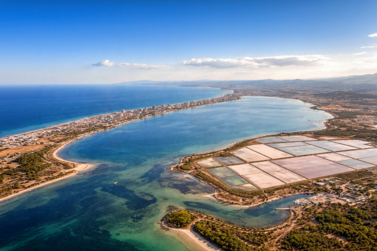
GEOSAT’s satellite data: a vital tool for monitoring and combating deforestation
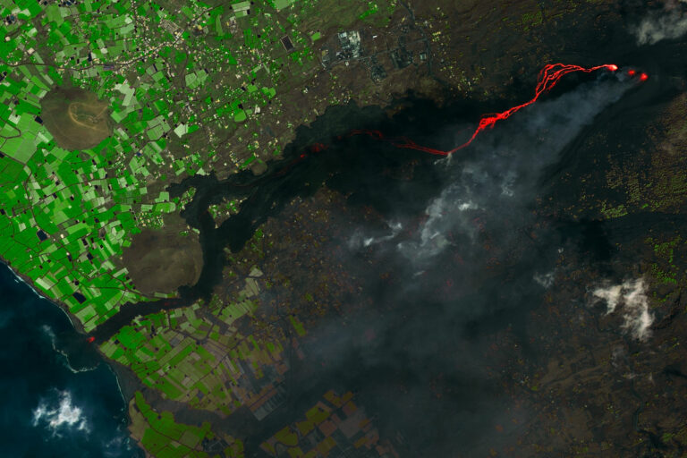
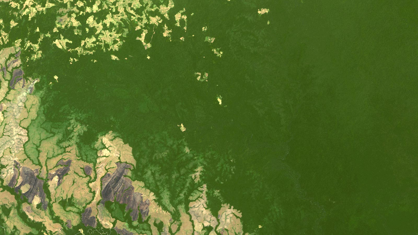
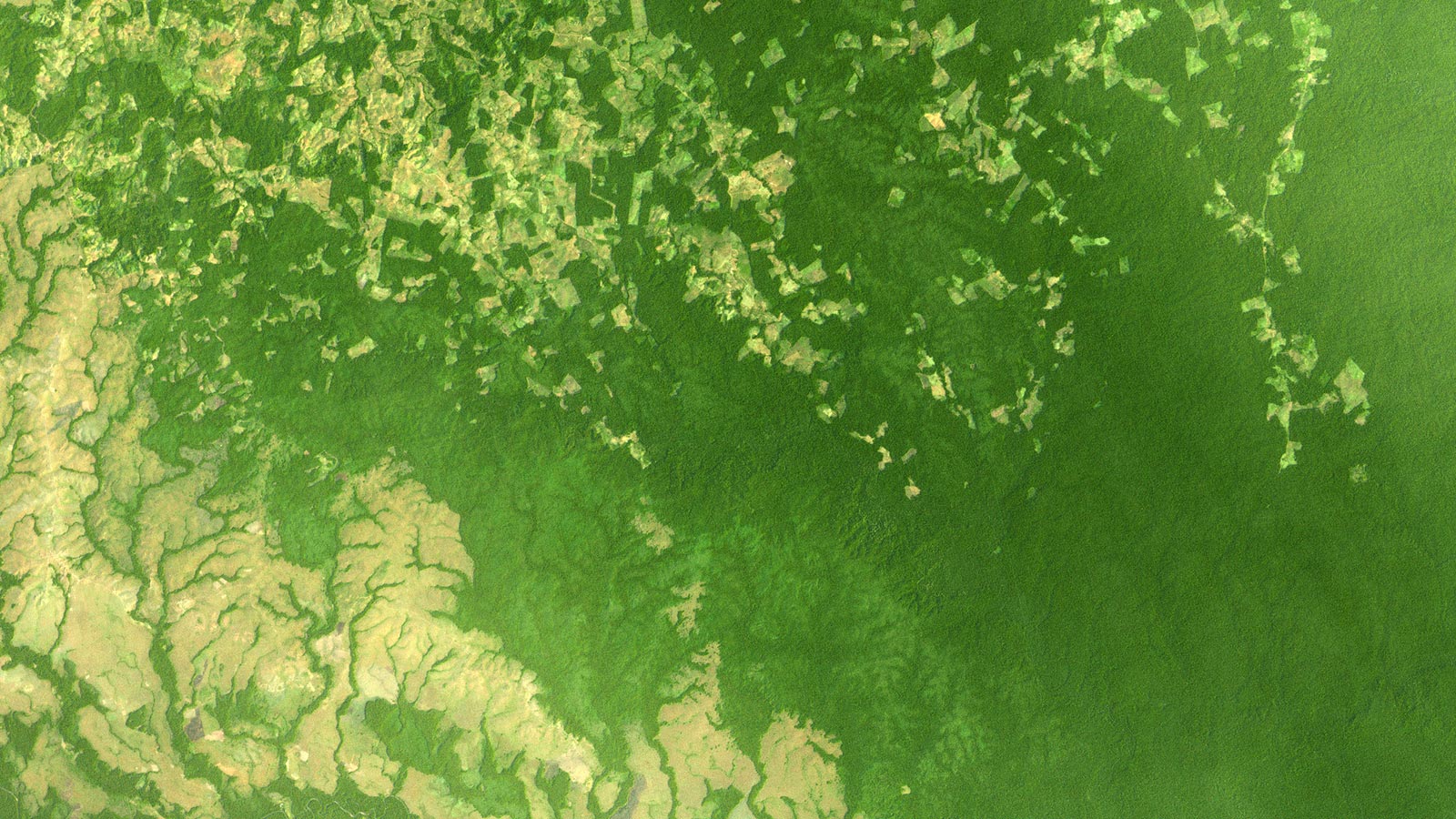
In a world where the Amazon Rainforest is crucial for biodiversity and climate regulation, a growing crisis looms. Deforestation driven by agriculture, logging, and urban expansion threatens this vital ecosystem. With climate change exacerbating the issue, there’s an urgent need to act. Enter GEOSAT’s satellite data, a potent tool for monitoring and battling deforestation. Through techniques like image analysis, AI, and near real-time monitoring, it’s helping track forest changes and informing responsive policies. The impact is clear: improved forest management, conservation efforts, and heightened public awareness. As the Amazon’s guardians, we must leverage technology and resolve to protect this invaluable treasure.


The impact of utilizing GEOSAT’s satellite data
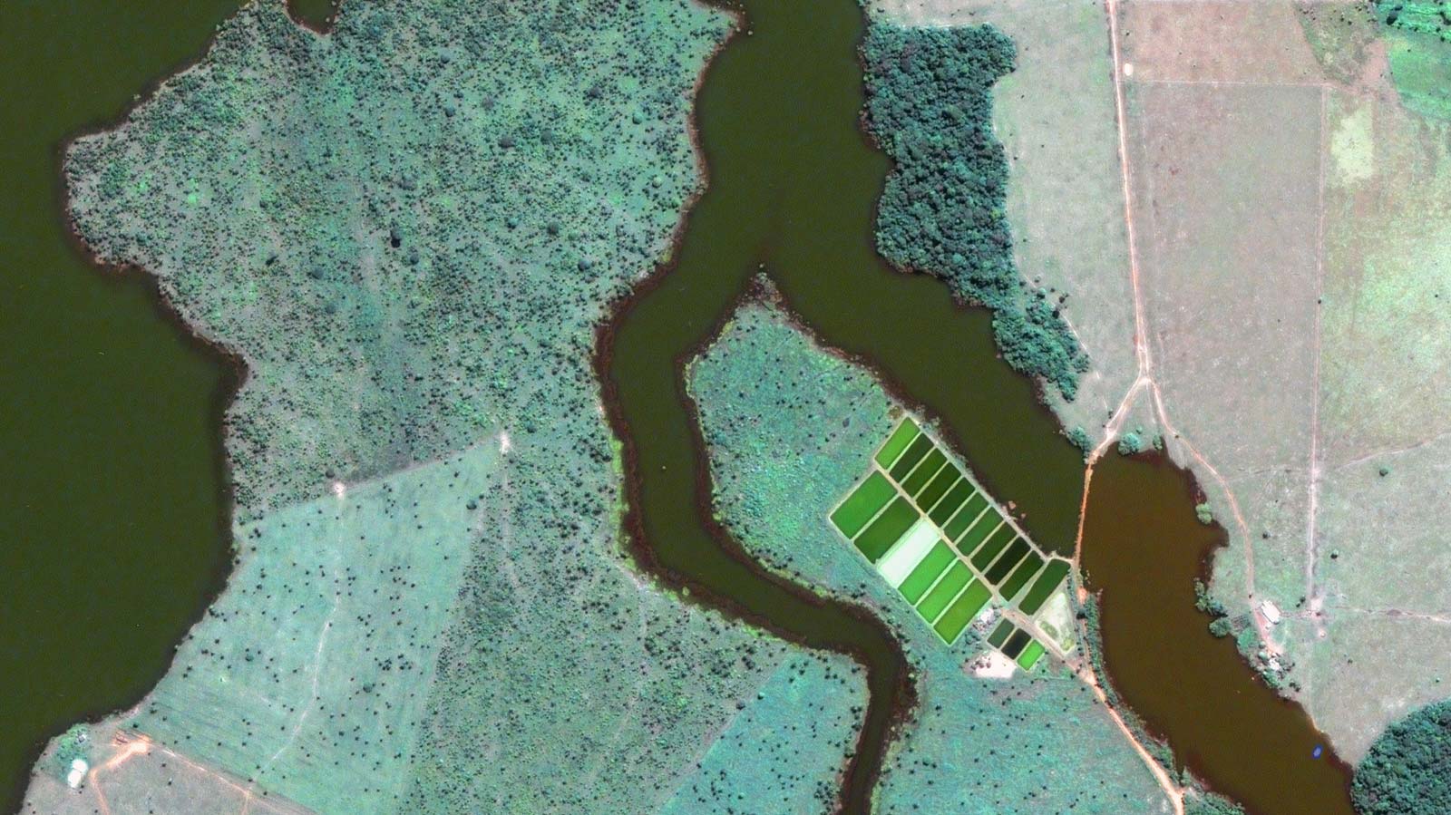
GEOSAT’s satellite data has been instrumental in providing accurate and up-to-date information on forest cover changes involving collecting, analyzing, and utilizing data from its Earth-observing satellites:
- Image Analysis/Change detection: GEOSAT’s remote sensing experts use specialized software and algorithms to compare recent satellite images with historical ones. This process identified changes in vegetation cover, allowing for the detection of deforestation.
- Machine Learning and Artificial Intelligence: These techniques are employed to classify land cover types, including forested areas, cleared land, and agricultural fields, based on spectral and spatial information in satellite images.
- Near Real-time Monitoring: By analyzing satellite data regularly, environmental organizations and governments can track deforestation in near-real time. This enables them to respond swiftly to illegal logging and land clearance activities.
- Data Fusion: Satellite data can be combined with other sources of information, such as ground-based sensors and climate data, to gain a more comprehensive understanding of the factors contributing to deforestation.
GEOSAT’s satellite data has provided valuable insights into the rate and extent of deforestation in the Amazon Rainforest. It has helped environmental organizations and governments identify areas where illegal logging and land clearance are occurring. By integrating satellite data with other sources of information, researchers have been able to understand the complex interplay of factors driving deforestation, including climate change and socioeconomic factors.
Thanks to our own satellites, together with our partners, we deliver high quality imagery and analytics for high impact insights which result in improved decision making.