•
Defense & Security
Our situational awareness from space contributes to defense space strategy by monitoring mission-critical areas at the speed of change.
We provide ground satellite surveillance, specialized defense imagery and actionable intelligence for remote and conflict-prone areas, anywhere in the world, without the risk and cost of having resources on- site.
Precise Satellite Data for Defense and Security
The Defense and Security sector encounters multifaceted challenges, including the need for fresh and timely data access in a landscape where information decay can render insights obsolete. The expanding complexity of the threat landscape compounds these issues, demanding proactive measures against diverse, sophisticated threats. Traditional methods often fall short due to limitations in coverage, accessibility, and timeliness. Data protection and privacy remain paramount amidst the constant digital exchange, warranting secure handling of sensitive information. Resource allocation and budget constraints further strain the sector, limiting the acquisition of advanced tools and technologies crucial for modern defense strategies. Geopolitical uncertainties add yet another layer of complexity, requiring agile responses and precise intelligence in dynamically shifting environments. Our satellite security services offer a game-changing solution by providing comprehensive, high-resolution defense imagery and data from remote regions worldwide.
Our satellites enable continuous satellite surveillance, facilitating security threat assessment and IMINT analysis, border and area monitoring, vessel detection under maritime surveillance satellite, and disaster response.
Furthermore, our satellite-based analytics and machine learning algorithms can process this data, offering you predictive insights, identifying patterns, and aiding in mission planning. We provide you with near real-time information that enhances situational awareness, enabling proactive measures in defense and security operations, thereby revolutionizing the sector’s effectiveness and responsiveness.
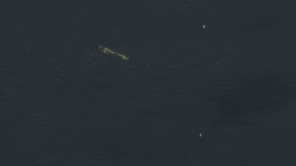
AI Ship detection
Artificial intelligence ship detection
•
Satellite security and defense imagery main capabilities

Dedicated orbits
Our dedicated orbits offer exclusive and optimized satellite and security solutions, ensuring reliable and uninterrupted coverage, enabling precise data collection and unparalleled responsiveness for critical missions.

Mission support
Our services include near-real-time imagery delivery (within 20 minutes), rapid on-demand high-resolution imaging through our rush tasking service, and continuous 24/7/365 support from our dedicated expert team.

HR/VHR imagery
Super Resolution enhanced pansharpened imagery at 40cm for detailed assessments, 1,6m scientific level enhanced resolution on each Multispectral data band. High-frequency, multi-resolution monitoring, and Federated Missions imagery. (MR, HR and VHR).

Mosaic Images
We combine multiple satellite images to create seamless compositions that you can use to create accurate maps.

Tip & Cue
Our Tip & Cue system employs cutting-edge technology to swiftly identify, analyze, and direct actionable intelligence, enhancing situational awareness and empowering precise decision-making in near real-time scenarios.

Change Detection/Hot spot area monitoring
We compare current data with historical records. This capability is vital for tracking illegal activities, identifying potential threats, monitoring critical infrastructure, and aiding disaster response efforts.

AI Feature detection
By automating the detection of specific features or objects of interest, combined with our AI techniques, we enhance surveillance capabilities. This leads to improved situational awareness by providing real-time insights and alerts about potential threats or activities.
Thanks to our own satellites, together with our partners, we deliver high quality imagery and analytics for high impact insights which result in improved decision making.
Get a demo
•
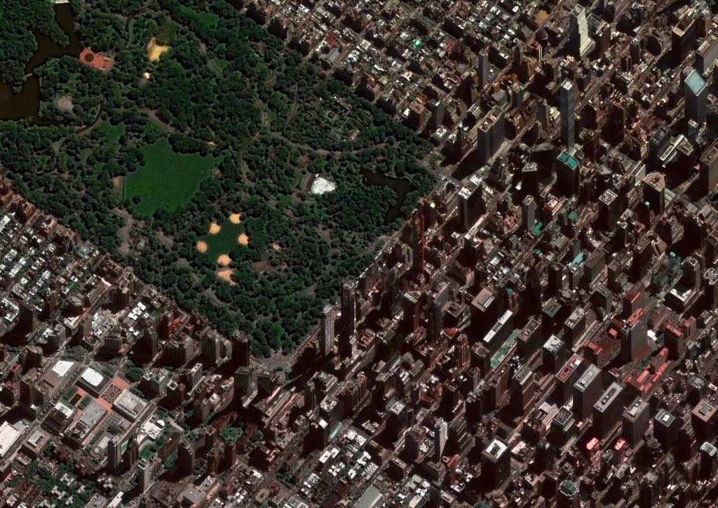
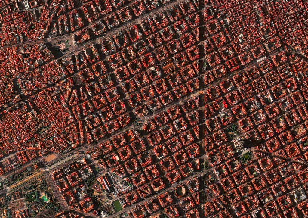
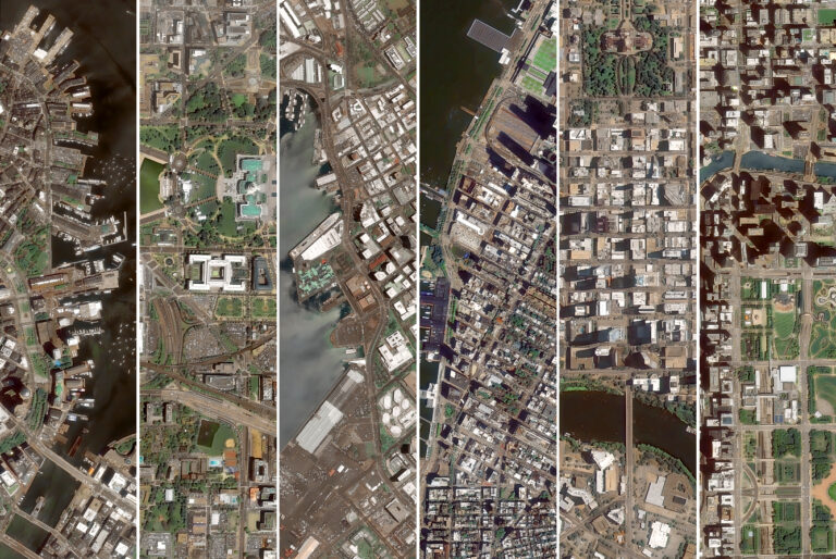
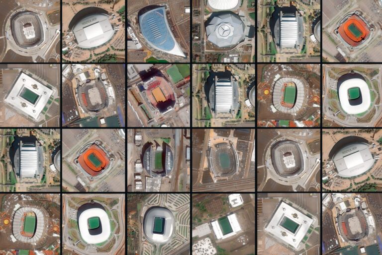
Market Samples
We work to build and deliver customized solutions in a large variety of applications and industries.

Kabul 26 aug 2021
Kabul high resolution daily satellite imagery

Refugee camp Kenia
Hagadera Refugee Camp Kenya

US-MEX Border
Border USA - México

Port of Rotterdam
Port of Rotterdam

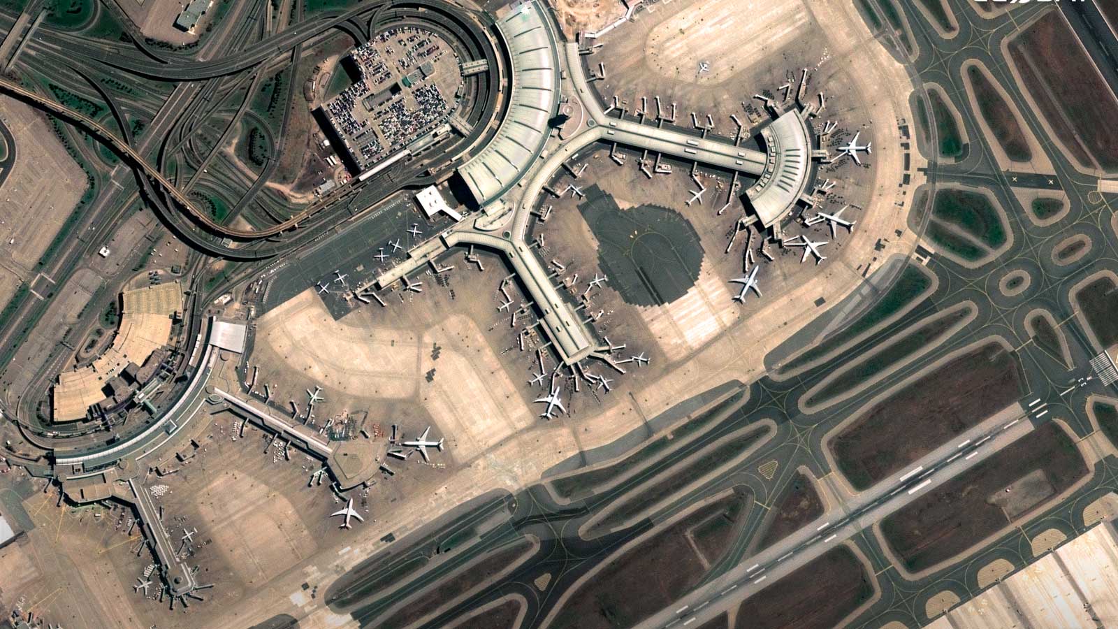
Toronto airport
Toronto airport

University of Phoenix Stadium
University of Phoenix Stadium
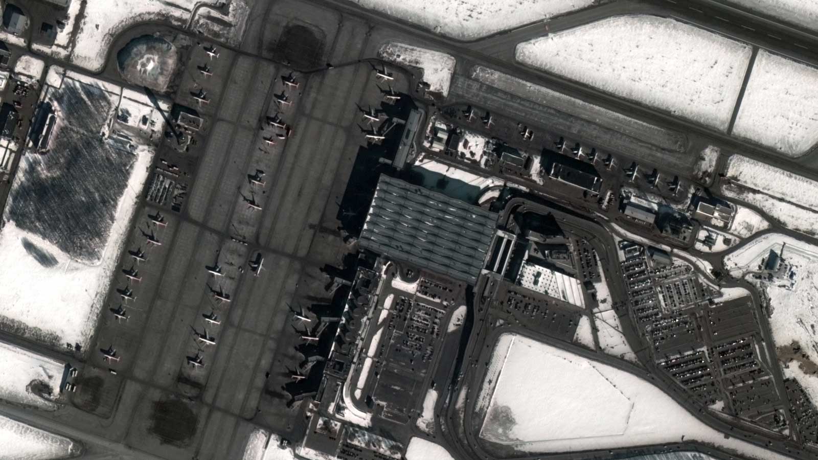
Haneda Airport Japan
Haneda Airport Japan

Wildfires Quebec Canada
Wildfires Quebec Canada
•
Advantages of using our Satellite security and defense imagery services
Near Real Time VHR Imagery
We deliver imagery down to 20 minutes from acquisition, so you can make reliable decisions to mitigate emergency situations fast.
VRS-DRS Services
We act as a centralized hub for receiving, processing, and distributing satellite data, under a system that streamlines and simplifies delivery to end-users. We directly capture and process near-real-time satellite imagery, offering immediate access for rapid analysis and decision-making.
IMINT Analysis
We provide IMINT Analysis, supported by our Automatic Feature Detection system enabling rapid and precise identification of specific features or objects within vast sets of imagery data.
Embark on a journey with GEOSAT
Our solution stands out in the Defense and Security sector due to our cutting-edge technology leveraging advanced AI, machine learning, and satellite data analytics that support your defense strategy. Providing global coverage, we ensure comprehensive monitoring and intelligence gathering, even in remote areas. Near real-time insights are a hallmark, enabling swift responses to emerging threats. Customizable and adaptable, our solution integrates seamlessly with your requirements and needs. By automating processes and providing proven efficiency gains, our solution facilitates optimized resource allocation and supports faster decision-making. With a track record of success, our solution consistently delivers reliable, actionable intelligence, making it a trusted asset for defense and security operations worldwide.
Contact us
More GEOSAT Areas of Expertise
View All