•
Environment & Forestry
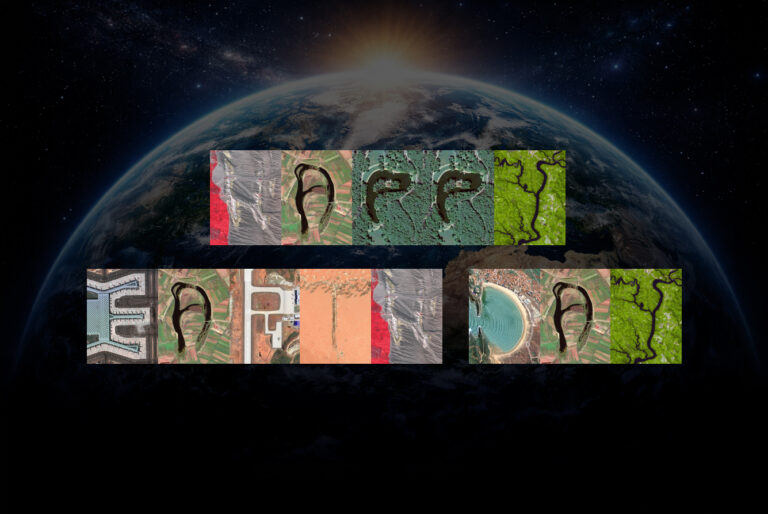
Taking action on climate change from above
Adressing proactive measures in environment and forestry by uncovering vital insights to improve forest health and reduce environmental impact.
We aid in habitat loss and deforestation monitoring
The world’s forests produce vital oxygen and provide homes for people and wildlife. Nowadays, it’s notoriously difficult to get an accurate picture of the changes in forest health and cover from the ground and spot the countless small-scale logging and forest clearing activities globally.
At GEOSAT, we aid in habitat loss and deforestation monitoring by providing near real-time and historical data for forest assessment, enabling authorities to identify areas undergoing deforestation and take timely action. We provide biodiversity assessment by mapping ecosystems, identifying vulnerable habitats, and monitoring wildlife populations, helping combat biodiversity decline and inform conservation strategies. Furthermore, we help combat illegal logging and wildlife trafficking by providing surveillance capabilities over remote areas, enabling authorities to detect and prevent illicit activities.
Our satellite data contributes significantly to monitoring land degradation, soil erosion, and assessing the extent of fires, providing fire situation reports and data on land use changes and fire danger level. Moreover, we facilitate the measurement and verification of carbon credits by monitoring Carbon Sequestration and emissions, supporting initiatives aimed at mitigating climate change and promoting sustainable land management practices.
We help governments, businesses, and other organizations to measure their progress towards sustainability and support policy makers in implementing sound and objective Measurement, Reporting and Verification systems for REDD+ programs.
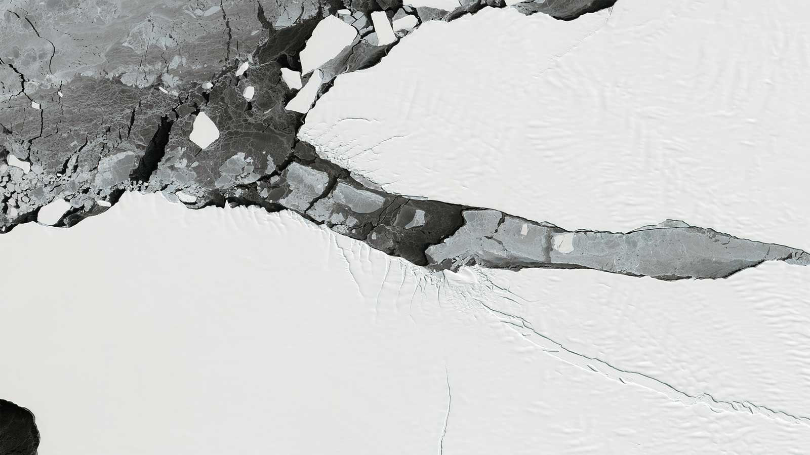
Antarctica iceberg monitoring
•
Satellite services for environment and forestry monitoring

Mission support
Our services include near-real-time imagery delivery (within 20 minutes), rapid on-demand high-resolution imaging through our rush tasking service, and continuous 24/7/365 support from our dedicated expert team, providing the most accurate application of satellite remote sensing in environment.

HR/VHR Multi-Spectral Images
Our High-resolution and Very High-Resolution Satellites capture non-visible, near-infrared radiation (NIR), revealing areas where the forest destruction has occurred. Healthy vegetation reflects more NIR and shows up in bright red, while areas with little vegetation do not.

Stereo
Our very high-resolution stereoscopic imagery is crucial in developing 3D and Digital Elevation Models, offering better insights into Forest Assessment.

Vegetation Indexes (BOA)
Vegetation health & Indexes are an important parameter of agricultural and forestry development analytics, as they offer a better understanding of crop conditions. We provide data precision and mile-away control features, so that Indexes are available on request.

Change Detection (Deforestation)
We can capture and analyze new high-resolution satellite imagery every few days to help you uncover small-scale deforestation more easily. Our sensors feature a great capacity for Deforestation Monitoring, as they can make multitemporal revisits in a short period of time.

Land Use/Land Cover
Continuously monitoring our natural resources makes sustainable management possible and it’s the best way to protect our environment for the future. We provide reliable, regular monitoring for a wide range of environmental pressures such as deforestation, land degradation, desertification, illegal logging, and carbon emissions.

AI Feature Detection
We combine satellite data with AI techniques to efficiently detect, analyze, and derive valuable insights across multiple sectors and applications.
Thanks to our own satellites, together with our partners, we deliver high quality imagery and analytics for high impact insights which result in improved decision making.
Get a demo
•
Market samples
We work to build and deliver customized solutions in a large variety of applications and industries.

A-74 iceberg breakup, 2021
Very High Resolution Satellite Imagery

Mississippi River, USA
High Resolution Satellite Imagery

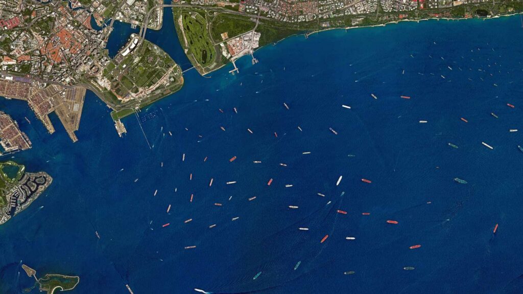
Port of Antwerp, Belgium
Very High Resolution Satellite Imagery

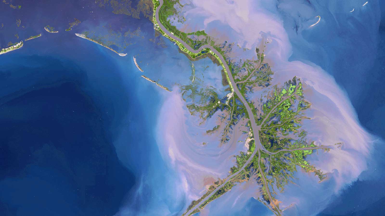
Mississippi Delta, Louisiana, USA
High Resolution Satellite Imagery

Ucayali River, Peru
High Resolution Satellite Imagery

Broad Sound, Queensland, AUS
High Resolution Satellite Imagery
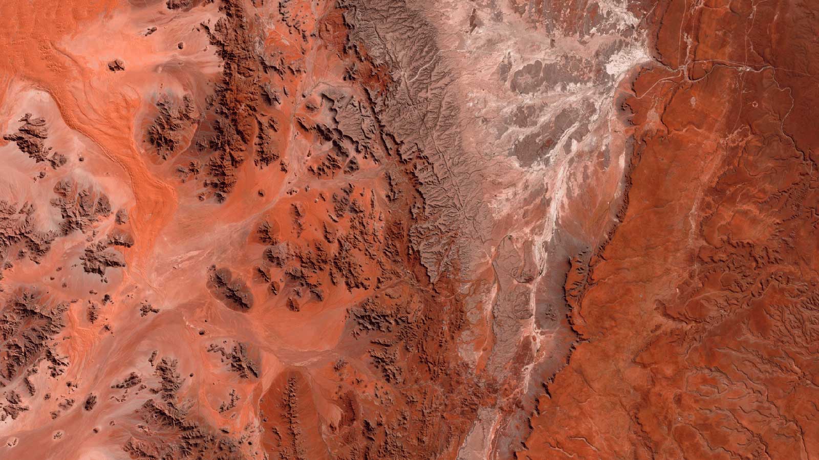
Namib Desert, Namibia
High Resolution Satellite Imagery

Richat Structure, Mauritania
High Resolution Satellite Imagery

Boqueron, Paraguay
High Resolution Satellite Imagery

Grizzly Island Wildlife Area, Sacramento, CA, USA
High Resolution Satellite Imagery

Venice, Italy
Very High Resolution Satellite Imagery

Pico del Teide Volcano, Canarias, Spain
High Resolution Satellite Imagery

Grand Canyon, AZ, USA
Very High Resolution Satellite Imagery

Uyuni Salt Flat, Bolivia
High Resolution Satellite Imagery

Laguna Salada, Baja California, Mexico
High Resolution Satellite Imagery

Lake Wills, Australia
High Resolution Satellite Imagery

Greenland Ice Melt
Very High Resolution Satellite Imagery
•
Satellite data for environment and forestry can help you with
Monitoring Deforestation and Habitat Loss
Thanks to our extensive archive, you can track land cover changes and deforestation trends from 2009 onwards, thanks to our extensive archive. Understand, address, and manage forest health issues and lessen the environmental impact of projects in any location with our Imagery.
Climate change Satellite Data & Human Activity Impact
We offer you precise monitoring and analysis of environmental changes, human-induced impacts on the environment, timely detection of trends and patterns by enhancing understanding of ecosystem dynamics, informed policymaking for mitigation and adaptation and efficient management of natural resources.
Illegal Activity Detection and Reporting (as legal proof)
Our very-high-resolution imagery allows you to identify ongoing and unauthorized activities, such as illegal logging and clearing, illegal mining and deforestation.
Carbon Sequestration for Forestry (green carbon)
We provide satellite data to help assess and monitor Carbon Sequestration in forestry enabling accurate quantification of carbon stocks and changes, crucial for effective carbon accounting and management strategies.
Carbon Sequestration for Mangroves & Seagrasses (blue carbon)
We provide precise mapping and monitoring of coastal and marine ecosystems, crucial for accurately assessing their Carbon Sequestration potential and aiding in their conservation efforts.
Carbon Sequestration for Agriculture (brown carbon)
We assist in monitoring and assessing land-use changes and soil carbon dynamics, providing crucial insights into brown carbon’s contribution to carbon cycling and guiding sustainable land management practices.
Embark on a journey with GEOSAT
Continuously monitoring our natural resources makes sustainable management possible, and it’s the best way to protect our environment for the future. We provide reliable, regular monitoring for environmental pressures, such as deforestation, land degradation, desertification, and illegal logging. With our Climate Change Satellite Data, we can generate accurate insights into the present and better prepare for the future.
Contact us
More GEOSAT Areas of Expertise
View All