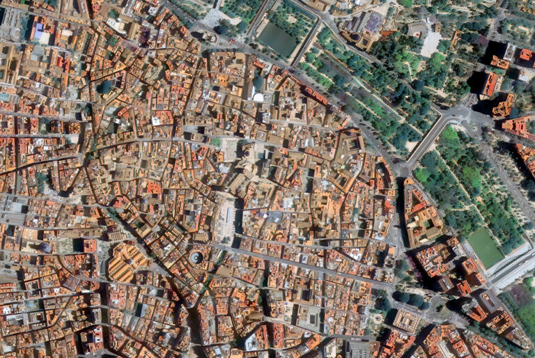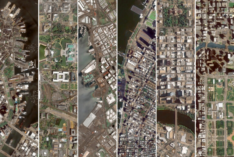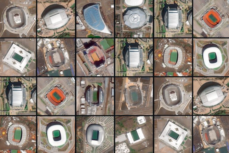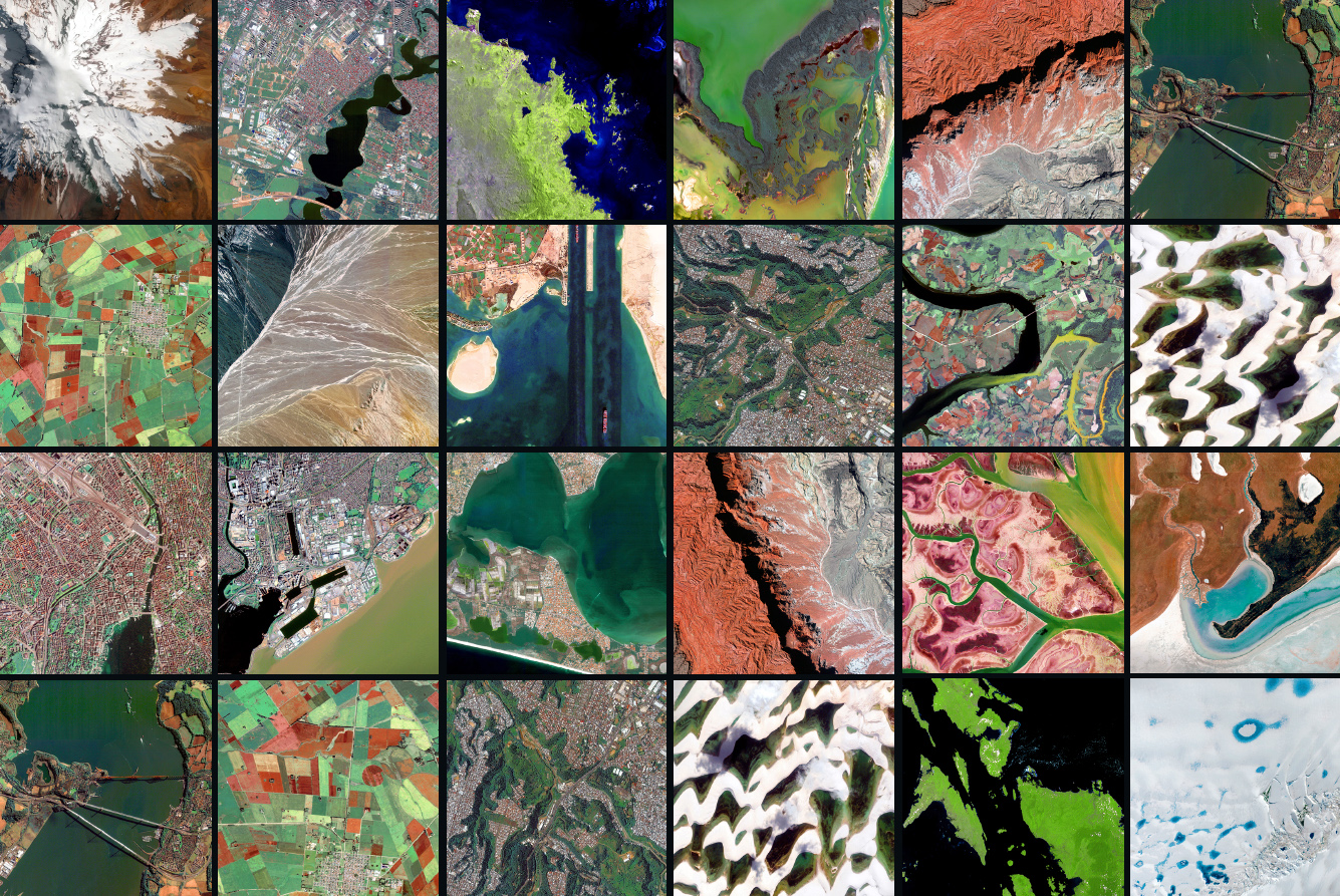

Satellite archives reveal what ground monitoring cannot track. Very high-resolution imagery allows governments and institutions to observe large-scale coastal erosion, desert expansion, and wetland retreat across remote areas.
For nearly two decades, continuous Earth Observation data has mapped these changes globally. This deep historical archive eliminates guesswork, providing structured data to evaluate environmental shifts over long time horizons.
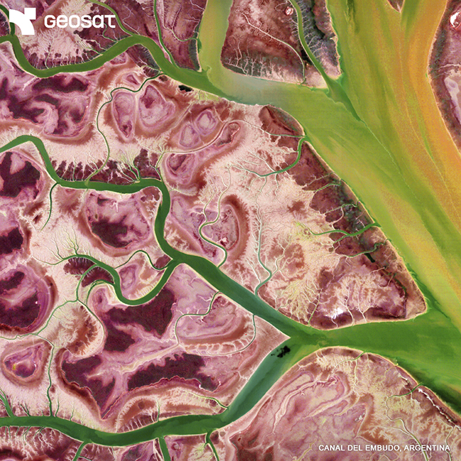
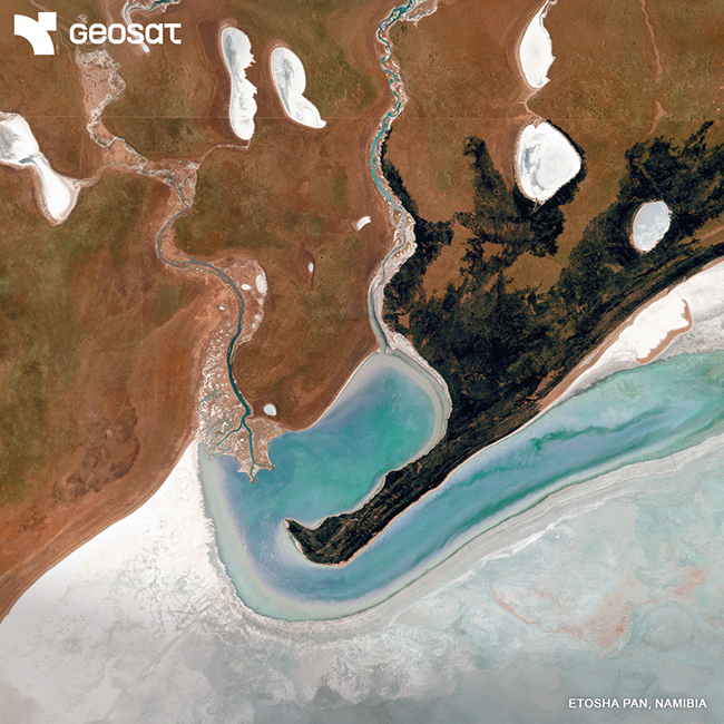
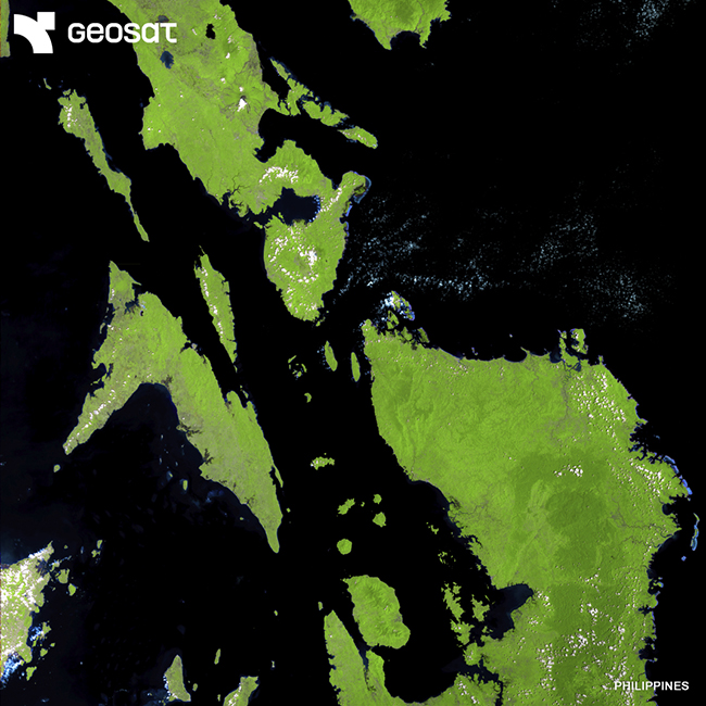
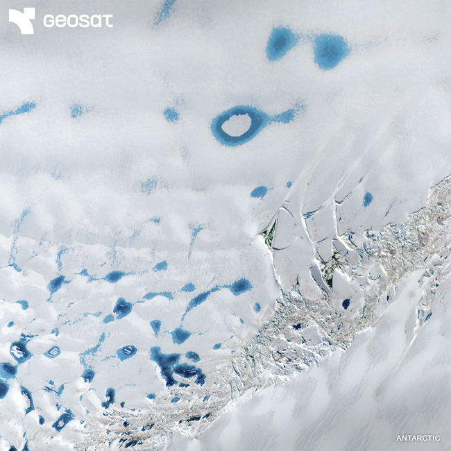
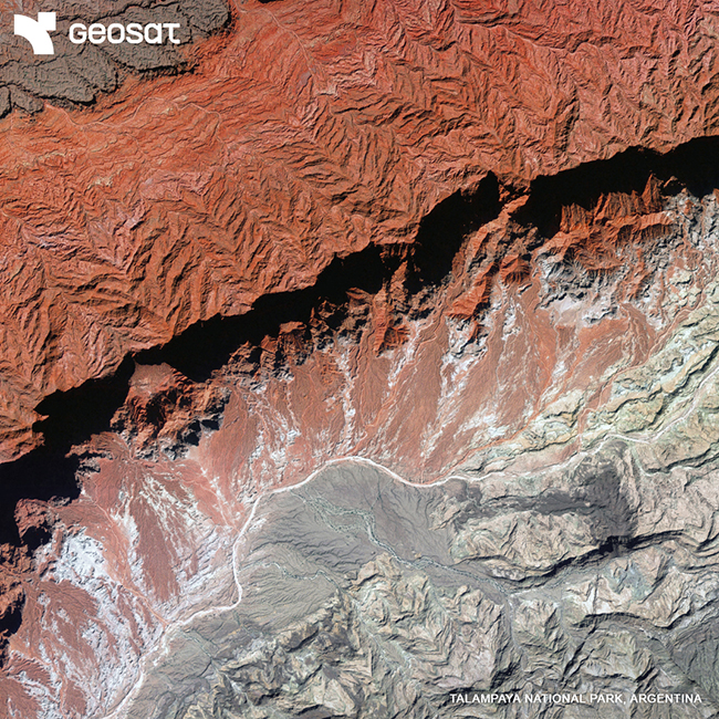
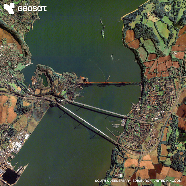
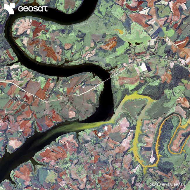
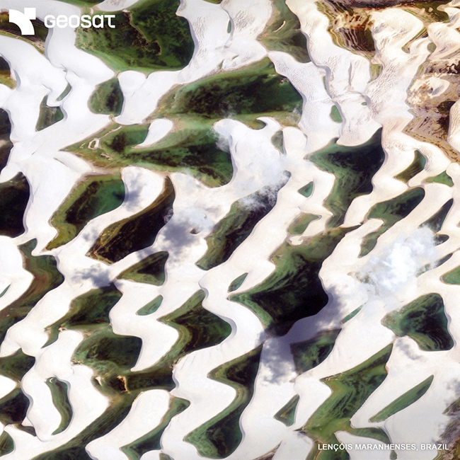
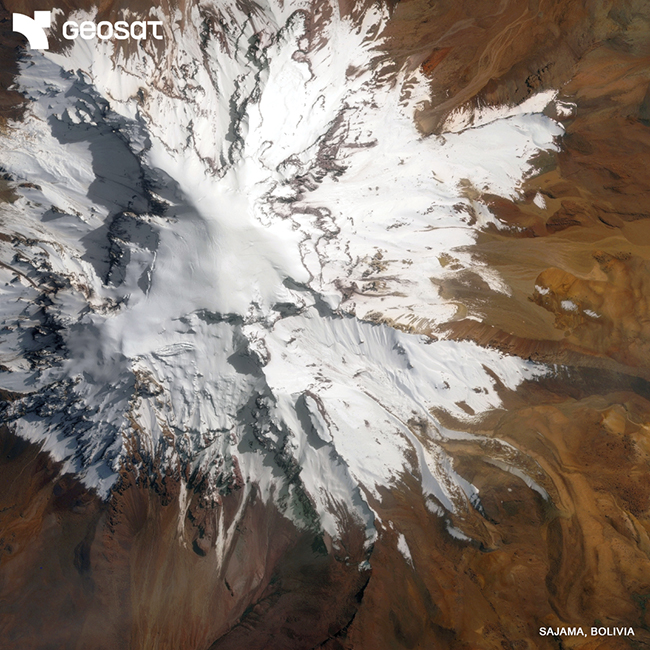
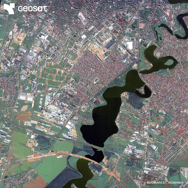
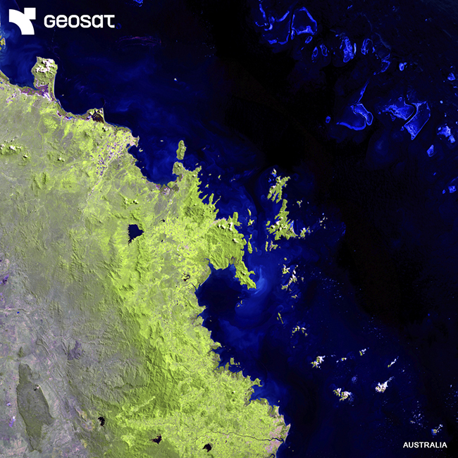
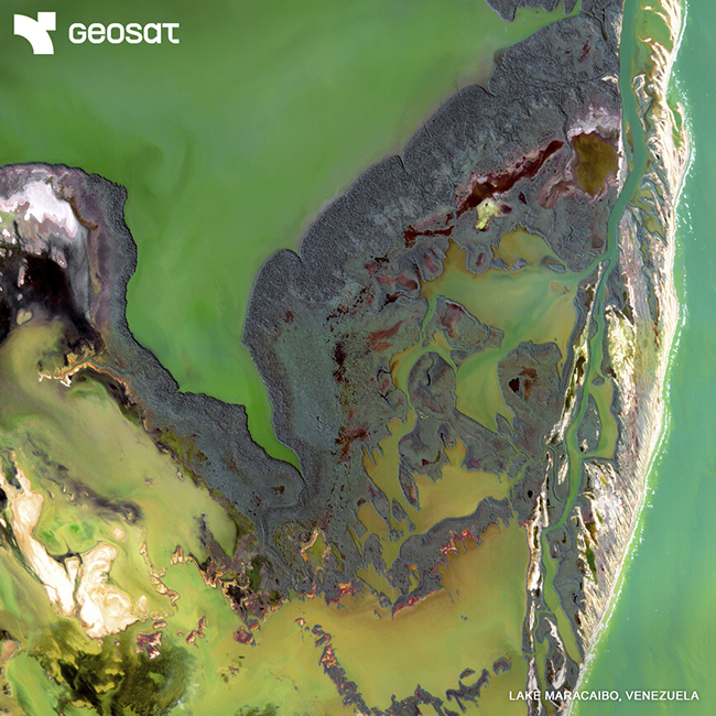
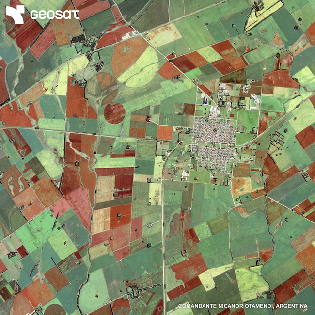
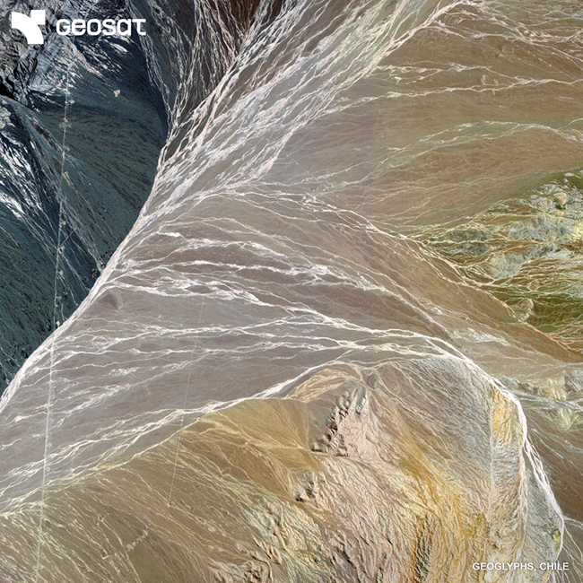
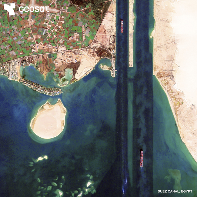
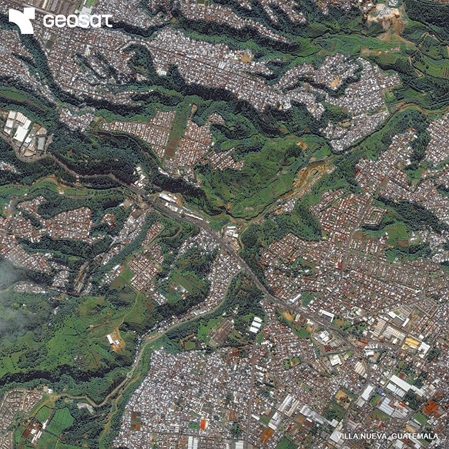
These multi-temporal imagery datasets show exactly how human footprints and climatic variations affect natural infrastructure. Analyzing these geometric archives gives decision-makers the precision required for regional planning and environmental asset management.
Contact us to access our Very high-resolution imagery gallery to review geographic changes over the last 20 years. https://geosat.space/contacts/

Thanks to our own satellites, together with our partners, we deliver high quality imagery and analytics for high impact insights which result in improved decision making.