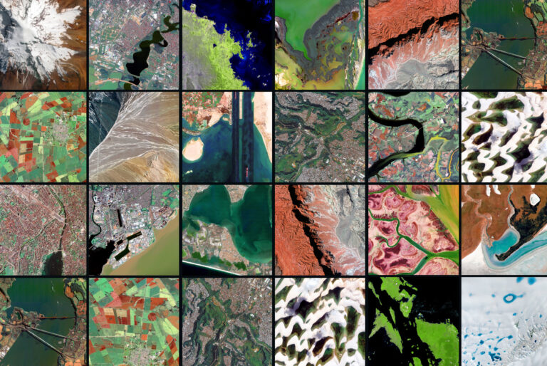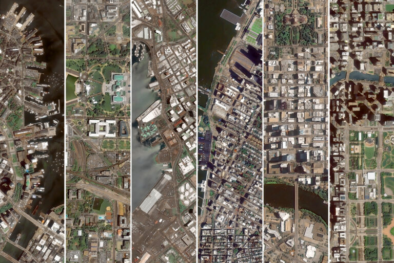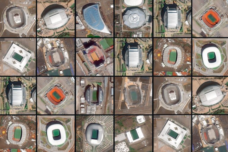

Countless landscapes. One country. Seen from Space. On Día de la Hispanidad, we look at Spain the way we know best: from above.
From the dense urban centers of Valencia and Sevilla to the rugged coastlines of Galicia and the arid expanses of Almería, Spain features an extraordinary geographic diversity. Seen from orbit, each city and region tells a different story about its history, urban planning, and relationship with the landscape.
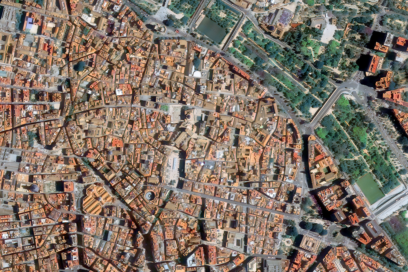
Satellite imagery provides the exact toolset needed to visualize how these environments change, how cities expand, and how infrastructures integrate into the terrain. This is the foundation of what we do at GEOSAT. Our mapping capabilities are built around very high-resolution (VHR) imagery, capturing details down to 40 cm while maintaining large-area coverage.
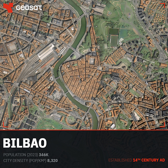
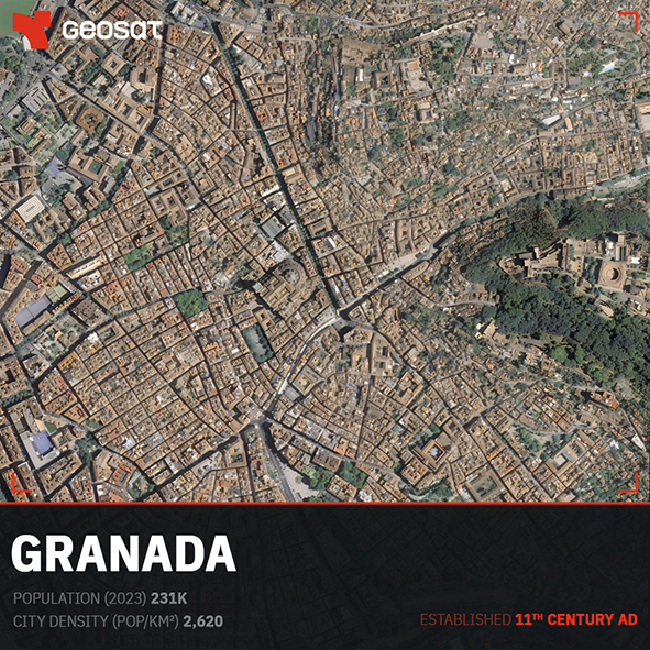
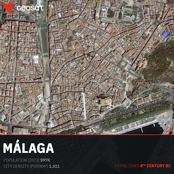
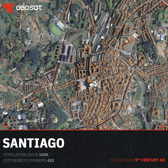
Bilbao. Population: 346K · City density (pop/km²): 8,320 · Established: 14th Century AD.
Granada. Population: 231K · City density (pop/km²): 2,620 · Established: 11th Century AD.
Málaga. Population: 597K · City density (pop/km²): 1,511 · Established: 8th Century BC.
Santiago. Population: 100K · City density (pop/km²): 452 · Established: 9th Century AD.
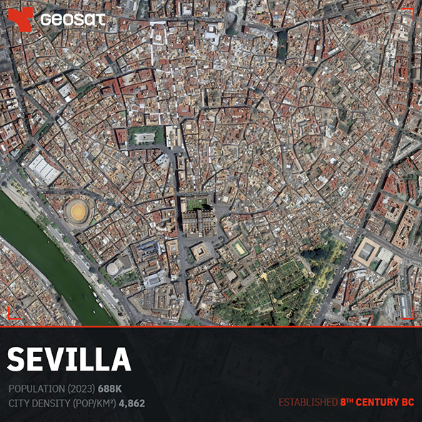
Sevilla. Population: 688K · City density (pop/km²): 4,862 · Established: 8th Century BC.
Sevilla. Population: 688K · City density (pop/km²): 4,862 · Established: 8th Century BC.
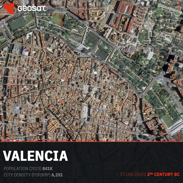
Valencia. Population: 841K · City density (pop/km²): 6,251 · Established: 2nd Century BC.
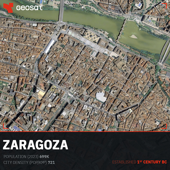
Zaragoza. Population: 699K · City density (pop/km²): 721 · Established: 1st Century BC.
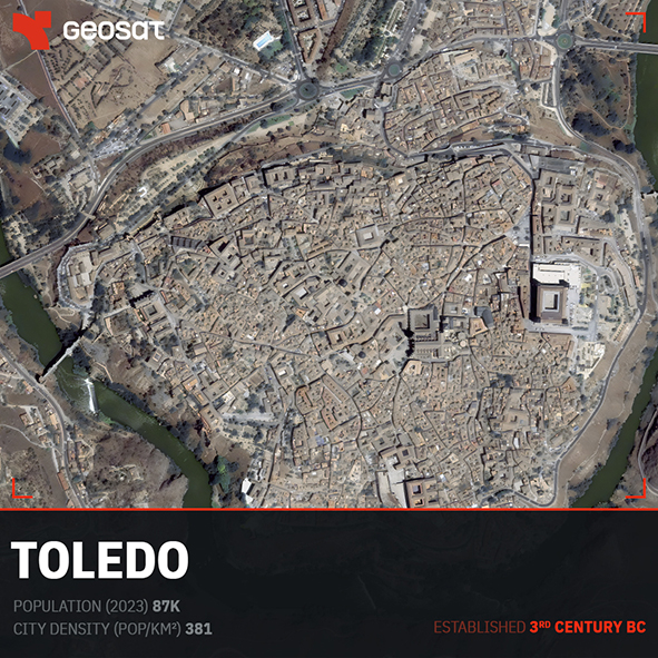
From above, every urban center reveals its unique structural signature. Cities like Bilbao illustrate how industrial and modern quarters adapt to tight, complex river geographies. In contrast, Toledo shows a highly concentrated, fortified historic core defined by the dramatic defensive embrace of the Tagus River bend.
The historical timeline is written directly onto the terrain. Sevilla and Málaga display sprawling, dense centers that grew from ancient maritime and river origins dating back to the 8th Century BC. Zaragoza showcases a distinct grid that still respects its foundational Roman roots along the Ebro River. Meanwhile, Valencia exhibits a high urban density of 6,251 pop/km², where its dense historical core tightly interfaces with modern agricultural and coastal developments.
These views are not just images; they are consistent, accurate spatial data. With orthorectified imagery, each pixel corresponds faithfully to its real position on the ground, allowing technical teams to map, measure, and plan with geometric precision.
At GEOSAT, we work with governments, urban planners, and environmental analysts who require large-area, high-resolution data. Whether for land classification, change detection, or updating national base maps, our satellites orbit the Earth 14 times a day to capture critical changes when they happen.
The ability to look at an entire country with uniform precision is what makes modern Earth Observation an essential asset for managing infrastructures and protecting natural resources.
¡Feliz Día de la Hispanidad!.
All images: GEOSAT satellite imagery.

Thanks to our own satellites, together with our partners, we deliver high quality imagery and analytics for high impact insights which result in improved decision making.