
•
Emergency & Disaster Management
Agile emergency management with fast & responsive services through disaster satellite imagery & data
Accurate, scientific-quality data through our 24/7 emergency service, down to 20 minutes from acquisition for satellite disaster management, to help make reliable decisions for impact mitigation and emergency response under time pressure.
Precise Satellite Imagery for Emergency & Disasters Management
The Emergency & Disasters Management sector faces numerous challenges, including limited real-time information, delayed response times, and inadequate situational awareness during crises. GEOSAT satellite data emerges as a pivotal solution, offering unparalleled advantages in disaster control. We provide Very High-Resolution (VHR) imagery, enabling rapid assessment of affected areas, aiding in damage assessment, resource allocation, emergency population warning, evacuation planning, and future preparedness. Our satellite technology facilitates continuous monitoring by providing hurricane, volcanic eruptions & earthquake satellite images, with a 2 – 3 day revisit time. We offer crucial data on weather patterns, infrastructure damage, and natural disasters (fire situation reports, flood mapping, natural disaster maps, crop diseases, conflict monitoring with a primary focus on humanitarian relief, etc.). Furthermore, our satellite technology enhances communication and coordination among response teams, allowing for more efficient and effective decision-making in emergencies. Integrating our satellite data with advanced analytics and artificial intelligence equips disaster management professionals with actionable insights, improving overall preparedness, response, and recovery efforts in times of crisis.
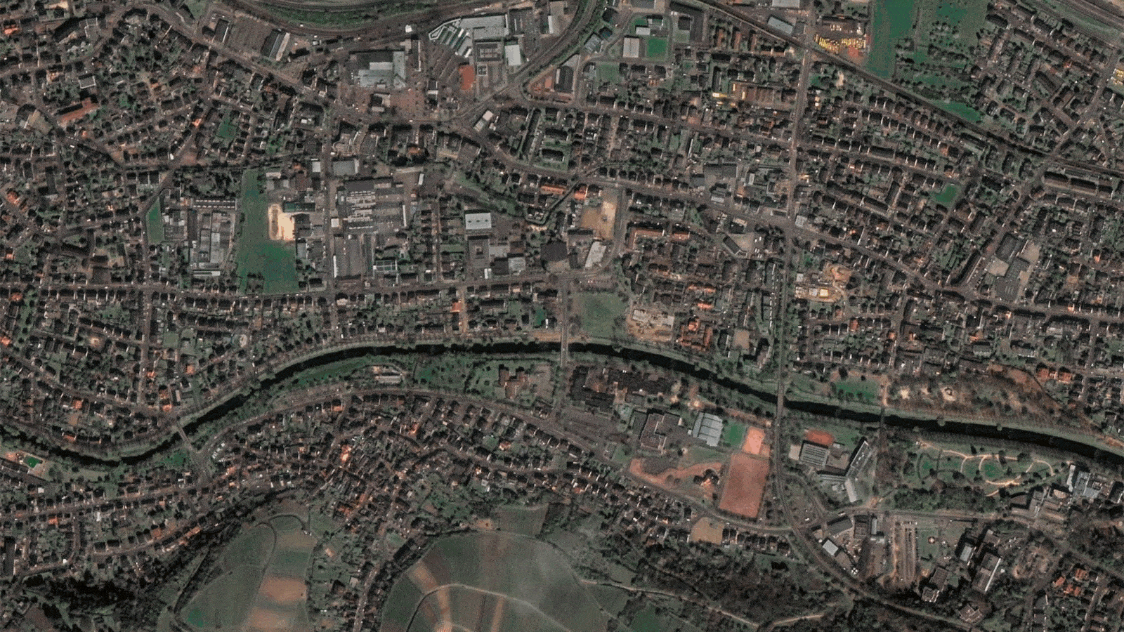
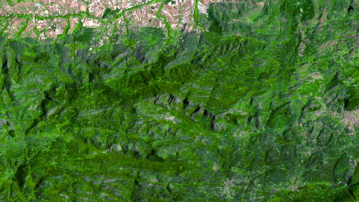
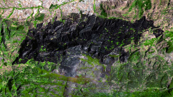
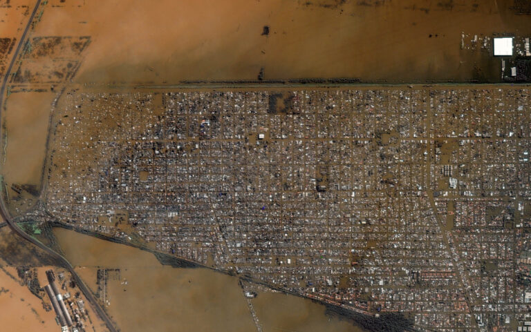
Germany floods
Germany Floods latest satellite imagery
•
Emergency and disaster satellite imagery main capabilities:

Mission support
Our services include near-real-time imagery delivery (within 20 minutes), rapid on-demand high-resolution imaging through our rush tasking service, and continuous 24/7/365 service from our dedicated expert team to support early warning systems’ processes.

HR/VHR image
Super Resolution enhanced pansharpened imagery at 40cm for detailed assessments, 1,6m scientific level enhanced resolution on each Multispectral data band. High-frequency, multi-resolution monitoring, and Federated Missions imagery. (MR, HR and VHR).

Tip & Cue
Our Tip & Cue system employs cutting-edge technology to swiftly identify, analyze, and direct actionable intelligence, enhancing situational awareness and empowering precise decision-making in near real-time scenarios for disaster control.

Dedicated Orbits
Our dedicated orbits offer exclusive and optimized access to space, ensuring reliable and uninterrupted coverage, enabling precise data collection and unparalleled responsiveness for critical missions.

Territory/Land Coverages
Our comprehensive coverage allows for the monitoring and analysis of vast land areas, including remote or inaccessible regions.
Change Detection / Disaster prevention images
We compare current data with historical records. These techniques aid in risk assessment, resource allocation, and informed decision-making for future preparedness.

AI Feature Detection
By combining satellite data with AI techniques, we efficiently detect, analyze, and derive valuable insights across multiple sectors and applications.
Thanks to our own satellites, together with our partners, we deliver high quality imagery and analytics for high impact insights which result in improved decision making.
Get a demo
•
Market Samples
We work to build and deliver customized solutions in a large variety of applications and industries.
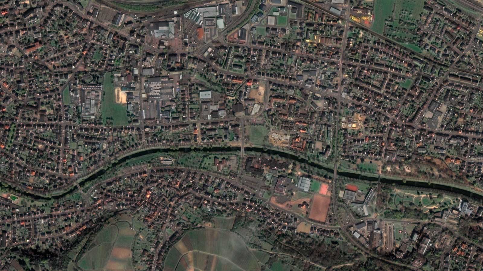
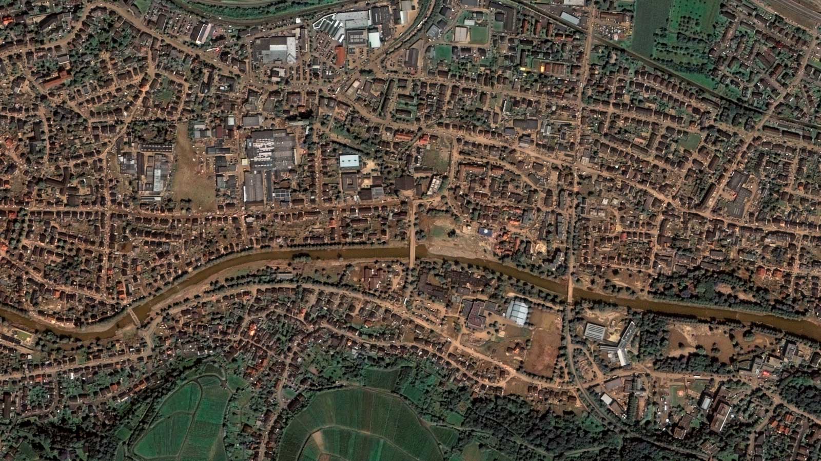

Germany Floods 2021

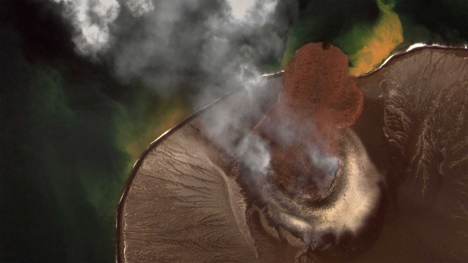
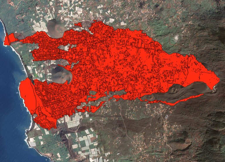
Cumbre Vieja Volcano
Lava flow at Cumbre Vieja, the Canary Island Volcano. G1 - G2
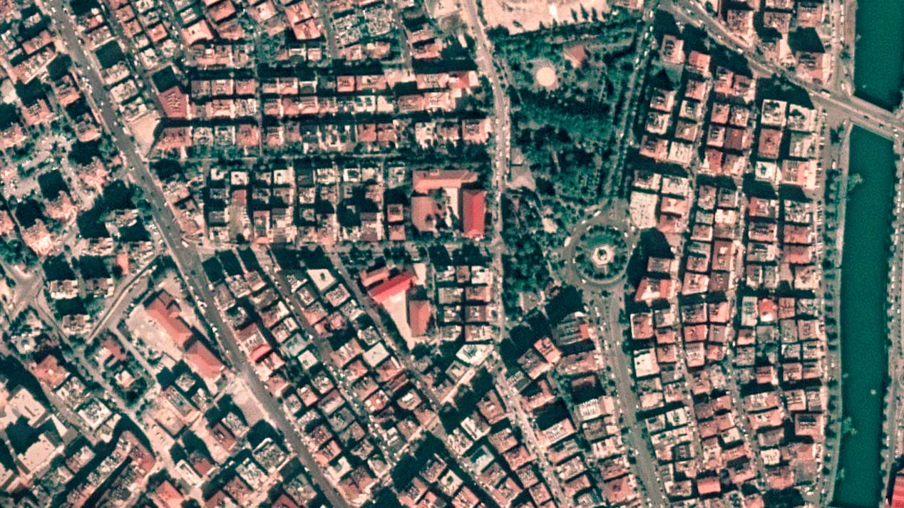
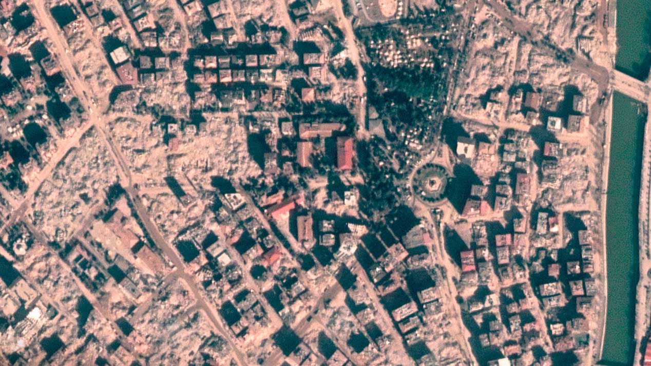
Antakaya Earthquake
Antakya Turkey Earthquake high-resolution satellite imagery
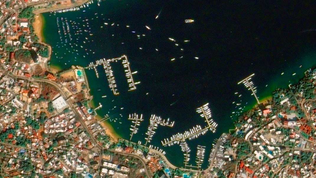
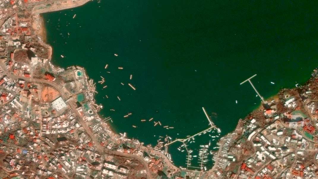
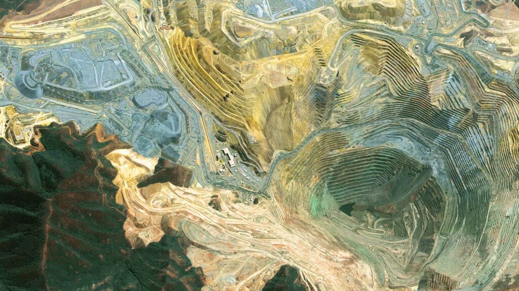
Acapulco, Mexico
Otis Hurricane
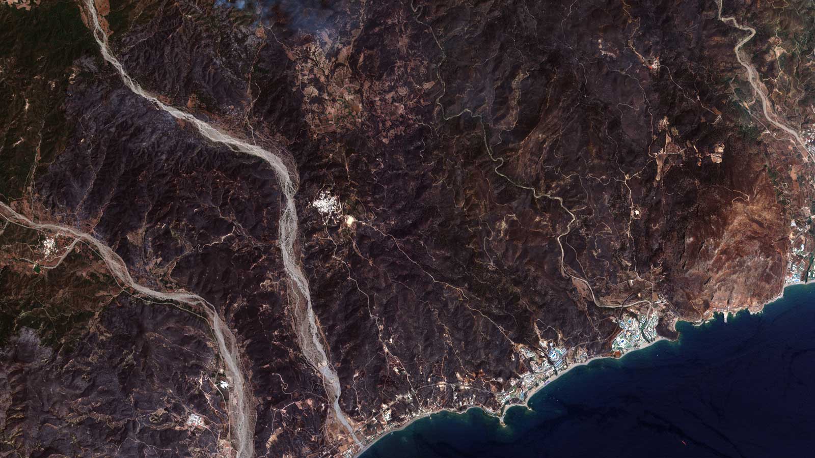
Avila, Spain
Burnt area after the fires

Amazon warehouse damaged by the 2021 tornadoes in Edwardsville, IL, USA
VHR Satellite Imagery, Property monitoring

Krakatoa volcano Indonesia
Krakatoa volcano, Indonesia High-resolution optical satellite imagery
Greece Fires
Greece Fires 2023 up-to-date Satellite imagery
•
Disaster satellite imagery helps to manage and prevent emergency scenarios through
Near Real-time disaster monitoring
We deliver imagery down to 20 minutes from acquisition, so you can make reliable decisions to mitigate emergency situations fast.
Logistics planning and response coordination
With the aid of satellite data, we empower precise logistics planning and response coordination. Near real-time insights into transportation routes, infrastructure integrity, and resource distribution optimize efficiency and facilitate seamless coordination during emergency and disaster management operations.
Resource allocation optimization
Our satellite data facilitates resource allocation by providing detailed and up-to-date information on affected areas, enabling precise assessment of needs for disaster control.
Embark on a journey with GEOSAT
Harnessing cutting-edge satellite technology, our solutions offer unparalleled advantages for disaster management. With near real-time data for logistics planning, response coordination, and resource allocation optimization, we provide a unique opportunity to swiftly and effectively respond to crises.
We guarantee uninterrupted coverage & very high revisit frequency enabling immediate and precise decision-making during critical situations for disaster relief. Don’t delay—contact us now to leverage these innovative solutions and gain a crucial edge in managing emergencies and disasters with unprecedented speed and precision.
Contact us
More GEOSAT Areas of Expertise
View All
Case study
2024 · 06 · 26
Unprecedented Flood Crisis. Tracking the Evolution and Impact on Rio Grande Do Sul
Read
Case study
2024 · 06 · 13
Rebirth from ashes: Analysis of the 2021 Cumbre Vieja eruption & the path to recovery
Read
Case study
2024 · 05 · 23
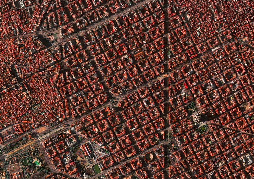
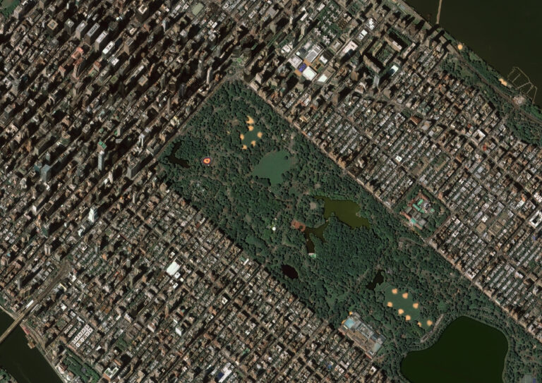
How satellite data is transforming megacity landscapes and urban planning
Read