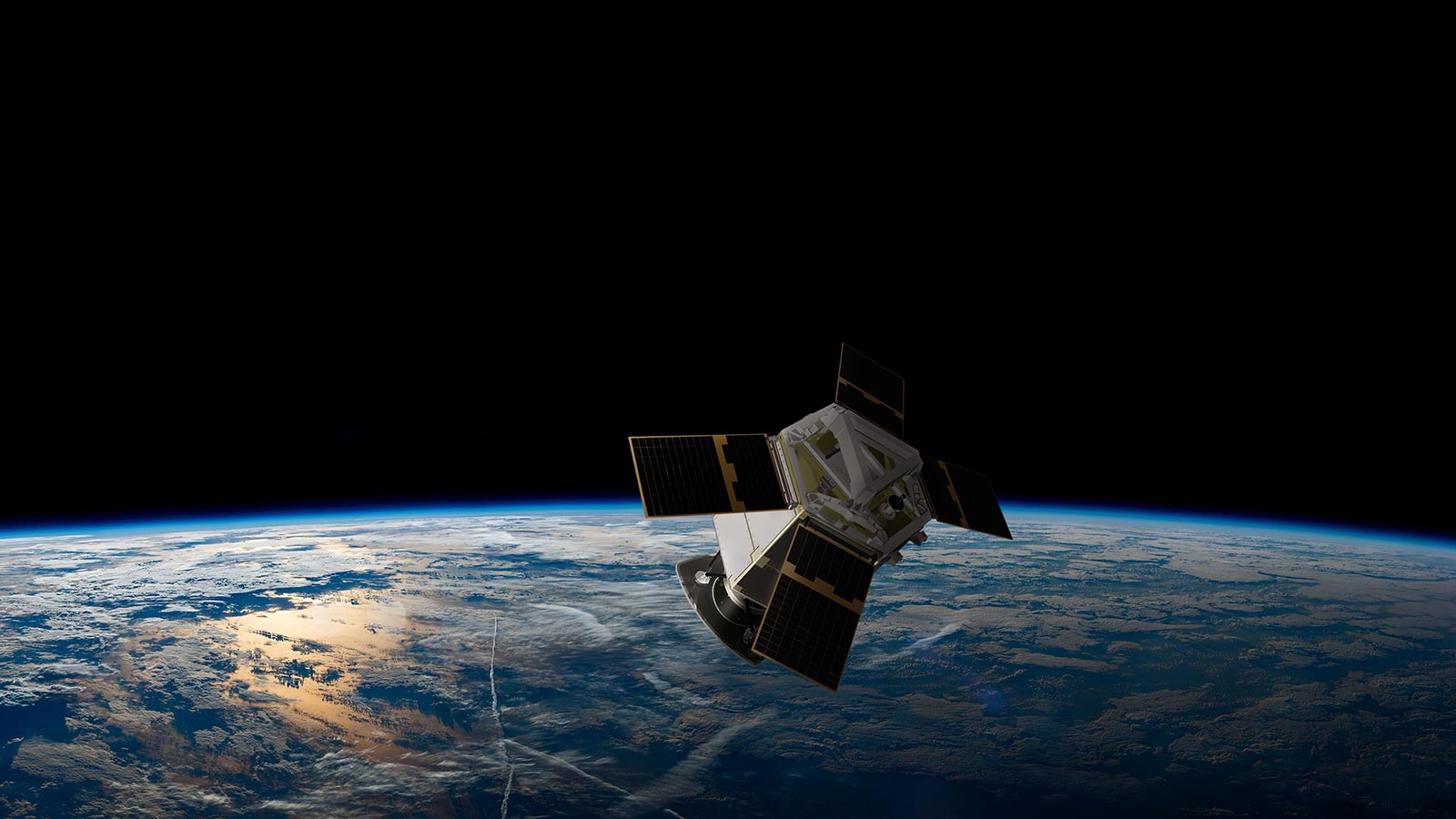
Up to 40cm optical data for climate applications
GEOSAT collaborates with ESA to enhance data quality for various applications.
Satellites continuously monitor our planet, providing vital scientific data for understanding human and climate-related impacts. They offer a unique global perspective, enabling historical trends to be analyzed, especially about climate change, through optical data and machine learning. This knowledge supports sustainable planning, disaster risk reduction, and cost-effective monitoring of urban and rural areas. Researchers access GEOSAT’s high-quality satellite data through ESA’s Earthnet Programme, as part of the ESA’s Third Party Missions (TPM) programme, ensuring data quality in the New Space era.
By monitoring our planet from space, satellites generate a wealth of robust scientific data that allows researchers to understand the impact of human and climate-related events. Satellites provide a unique perspective on what is happening on the Earth’s surface, both on a local, regional and global scale.


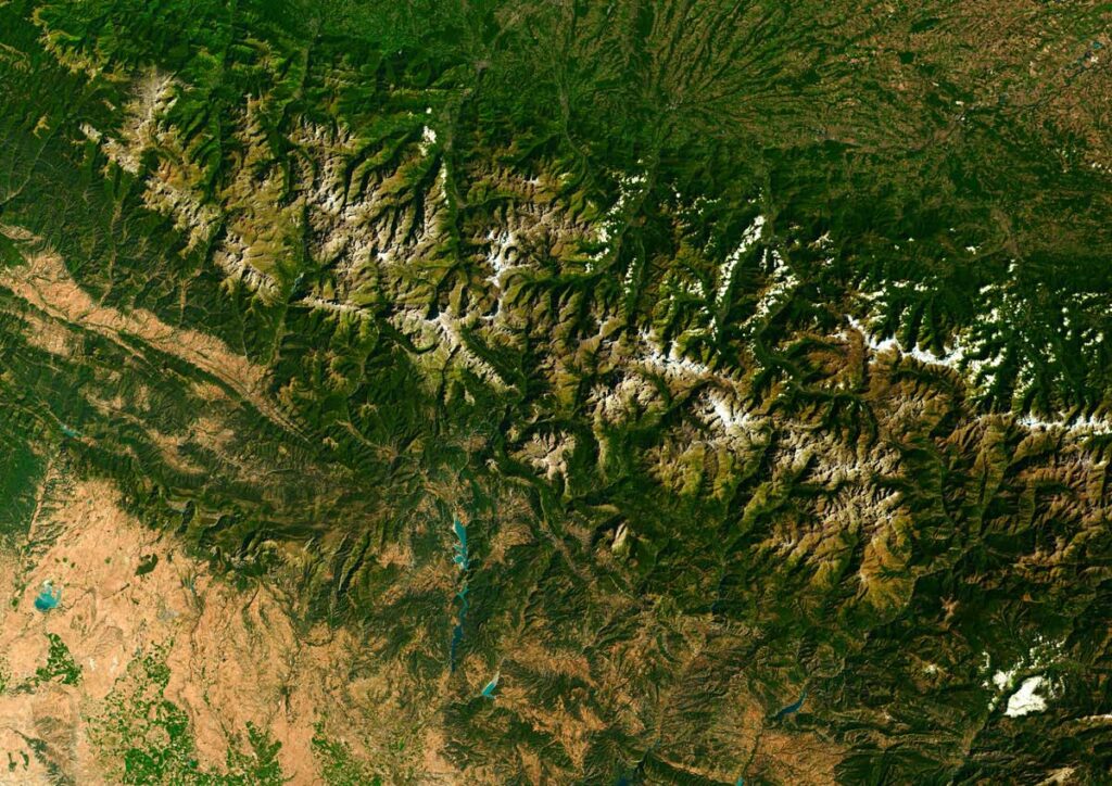
Optical data, when combined with intelligent machine learning algorithms, can be used to unravel thematic and historical trends in the Earth’s behavior across different areas and verticals, and especially climate change. Knowledge about the past from historical series, combined with the current observations enables us to prepare for the future as well. Earth observation from very-high resolution satellites set the basis for accurate predictive modeling, allowing communities and businesses to plan sustainably in the short and long terms.
To create disaster risk reduction plans and to manage response in times of need, governments and communities need fact-based knowledge of about the impact of climate-fueled disasters. Accurate, relevant, and timely satellite data can help with that.
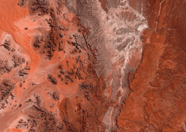
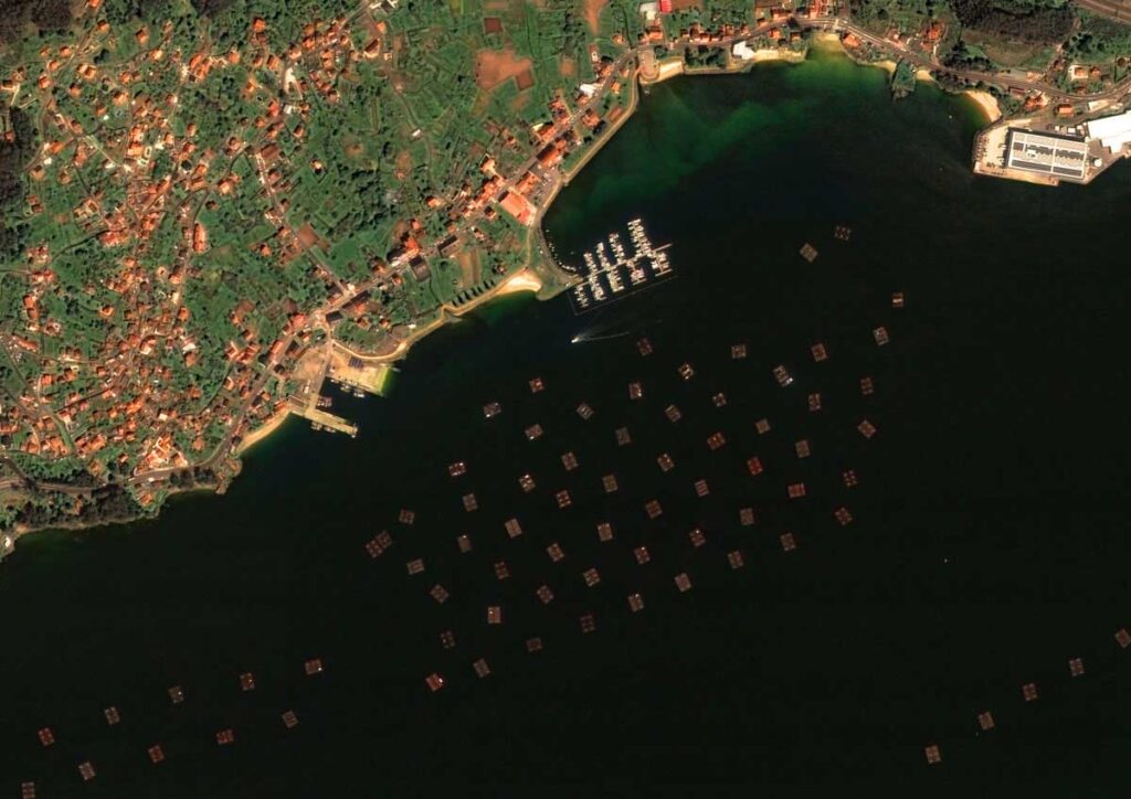
Since 2021, GEOSAT’s very high-resolution multispectral imagery have been assisting Spanish institutions to monitor coastal areas, inland water, persistent snow, and flood mapping within the Spain territories. This annual coverage conforms a crucial asset for multiple scientific applications, and multitemporal products depicts the inter and even intra-yearly evolution on any area of Spain.
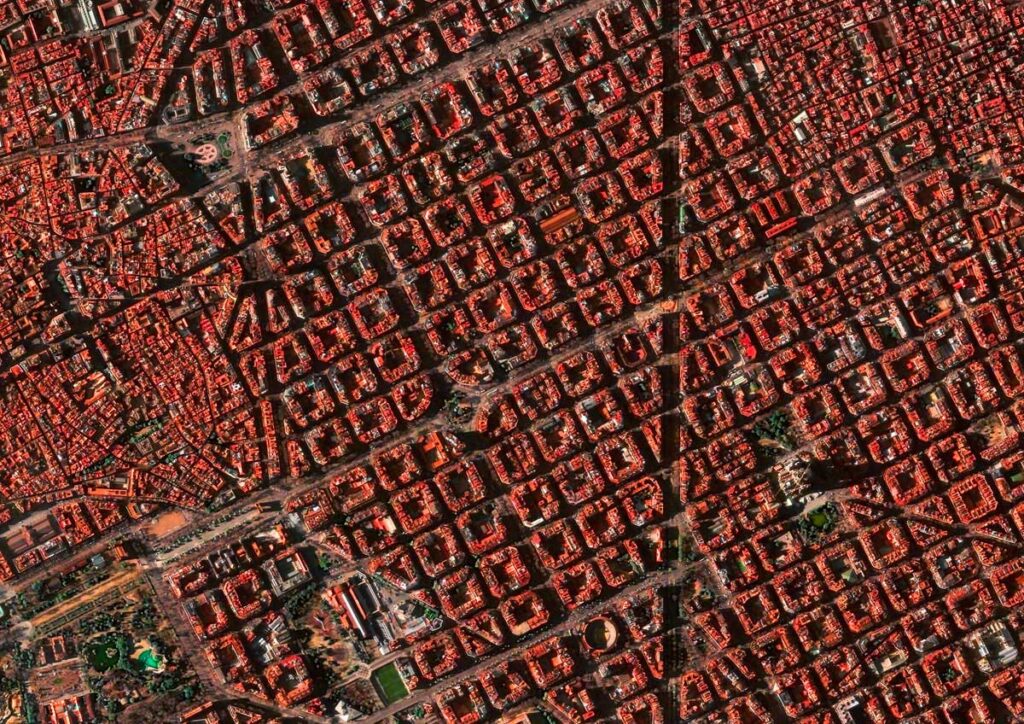
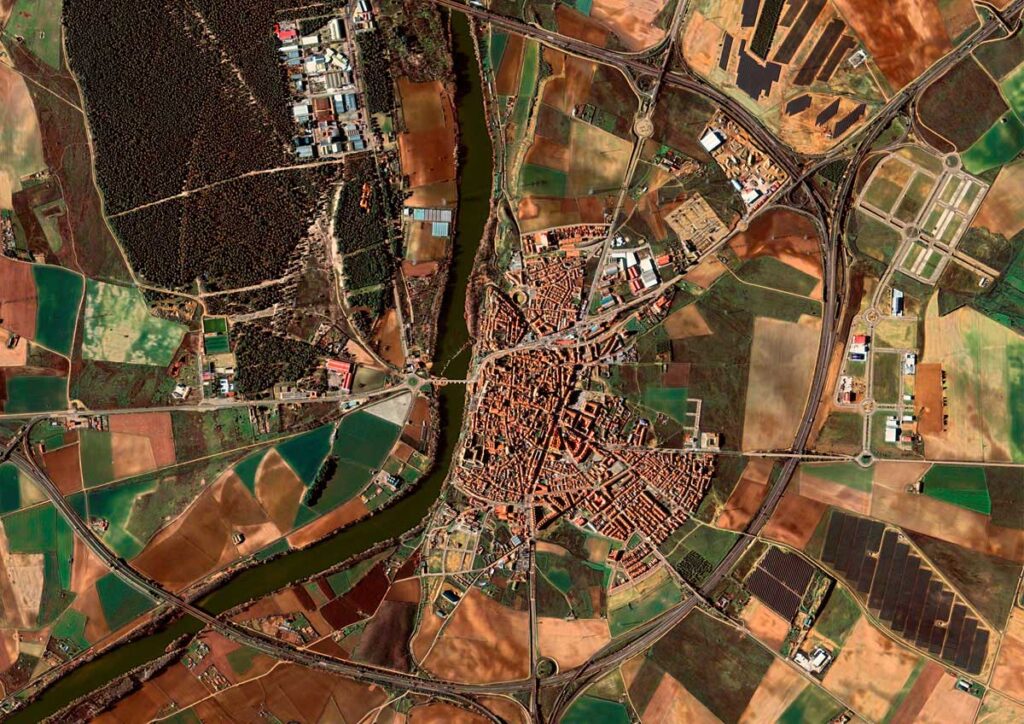
Additionally, GEOSAT imagery offers a unique view of what lies in, on and around urban and rural settlements. It provides a cost-effective and simple method of monitoring wide areas both locally and globally within a short period of time, as opposed to using in situ data, and is an essential tool for managing the actions and events that have an impact on urbanization leading to sustainable urban planning.
These datasets are being collected over Spain and Portugal, but any country of the world could benefit from this unique capacity, data quality and service level. Through ESA’s Earthnet Programme, researchers, scientists, and companies can access GEOSAT’s very high-resolution satellite data for non-commercial use. Ensuring that Earth observation data provided is of the highest quality is crucial, especially in this New Space era as data from different satellites is used by worldwide users in a complementary and synergetic way. GEOSAT VHR products meet the most stringent requirements in terms of radiometric and geolocation accuracy, as well as user-defined tailoring on acquisition campaigns.
ESA is playing a key role in setting up a common framework for quality assessment and in promoting and facilitating discussions on the topic of data quality between the institutional space and the commercial new space sectors. GEOSAT is actively collaborating with ESA in this framework, leveraging the large expertise in quality analysis derived from their daily operations and enabling products with superior quality that could be used in multiple applications.
Thanks to our own satellites, together with our partners, we deliver high quality imagery and analytics for high impact insights which result in improved decision making.