Satellite solutions for a safer world
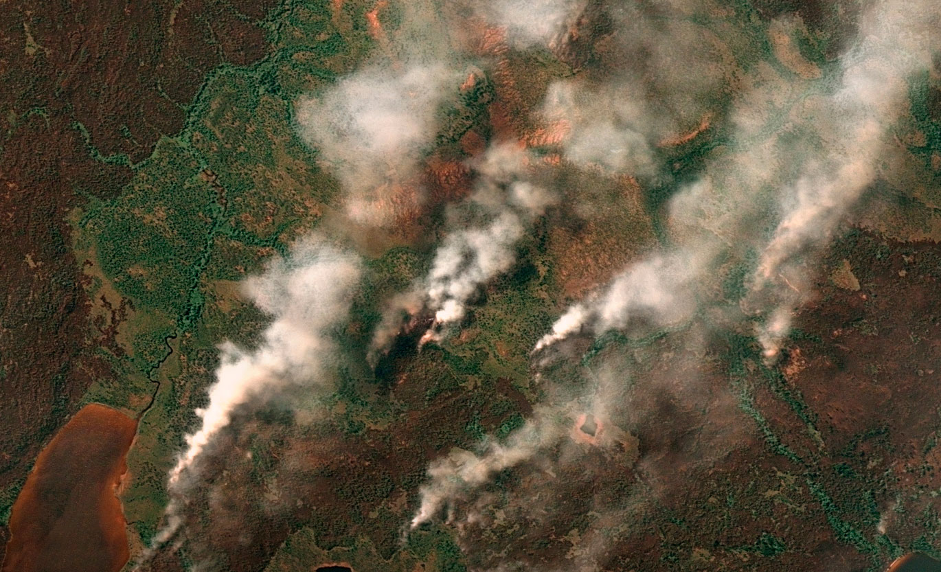
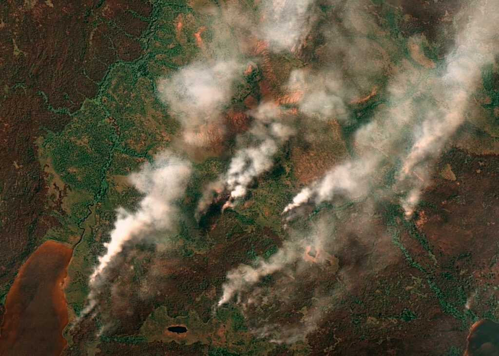
GEOSAT was aware of the latest fires that occurred this summer in several places around the world due to strong heat waves and very high temperatures, much higher than normal, and an extreme dryness that experts attribute to the effects of the climate crisis.
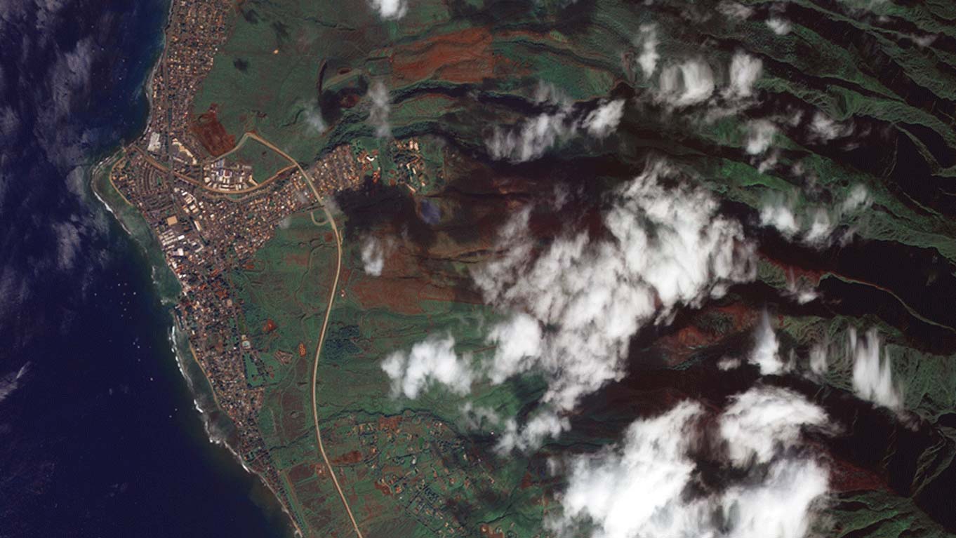
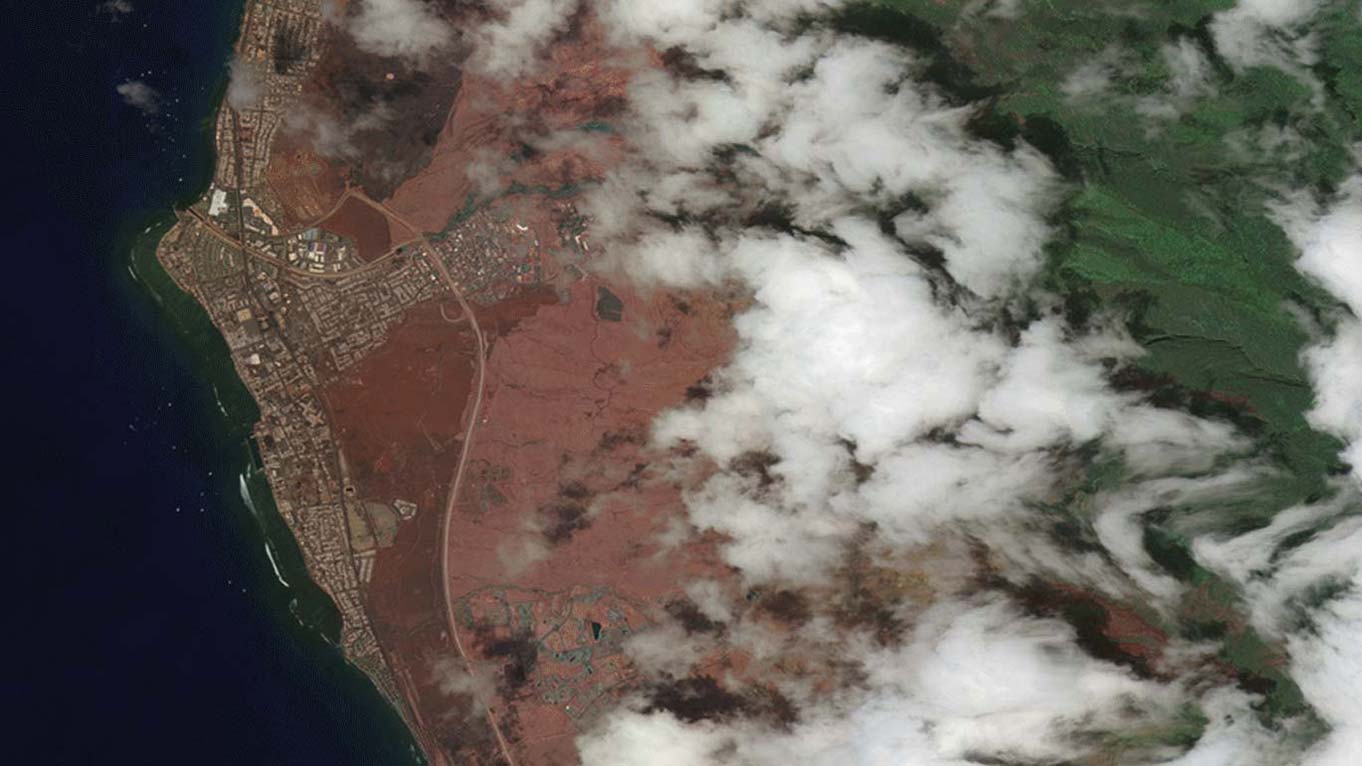
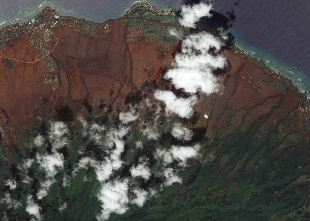
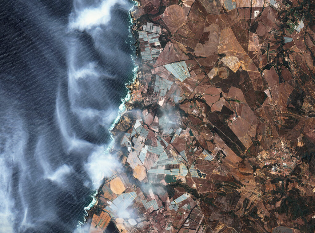
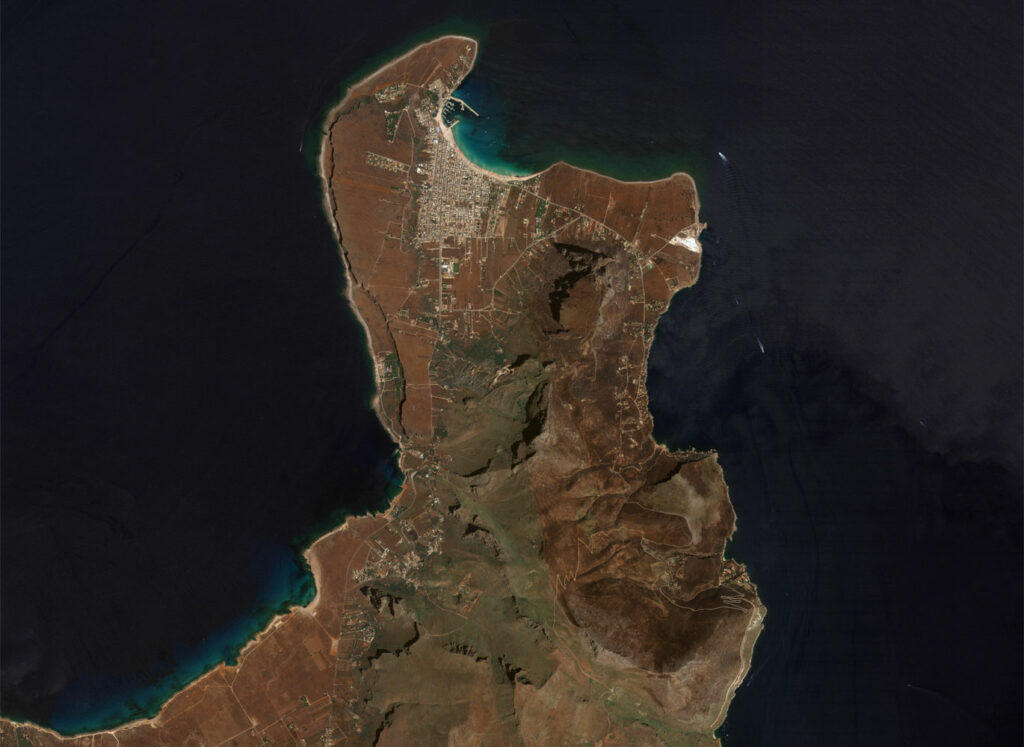
GEOSAT launched a monitoring campaign in different parts of the world, and we were able to successfully capture images that clearly showed the affected zones by the devastating wildfires that ravaged large areas of Canada, Hawaii (US), Greece, Portugal & Sicily (Italy).

Near real-time monitoring
GEOSAT also activated its Emergency Service, which is specifically designed to provide imagery in near real time (within 20 minutes). With this imagery, decision makers were able to take immediate action.
When it comes to coordinating local authorities and making sure everyone has access to the most up-to-date information, the accessible, user-friendly format of our imagery is essential. It allows everyone to be as responsive and proactive as possible, through the whole disaster management cycle: from mitigation and preparedness to response and recovery.
Thanks to our images we were able to evaluate the social and environmental impact by measuring the risk and affected areas in order to support decision-makers in the next steps of recovery.
Thanks to our own satellites, together with our partners, we deliver high quality imagery and analytics for high impact insights which result in improved decision making.