The energy transition towards renewable energy sources is one of the fundamental pillars of a sustainable future. A prominent example of this shift is the Francisco Pizarro Photovoltaic Plant, the largest solar installation in Europe, located in the Cáceres province, Extremadura, Spain. In this article, we will explore this innovative project and how satellite monitoring could play a crucial role in its management and supervision.
A solar giant in the heart of Extremadura
With an installed capacity of 590 megawatts (MW), the Francisco Pizarro Photovoltaic Plant is not only one of the largest in Europe, but it is also one of the most efficient in terms of clean energy production. The plant is located on 1,300 hectares of land between the municipalities of Torrecillas de la Tiesa and Aldeacentenera, with the ability to supply energy to more than 334,000 homes annually, significantly contributing to the fight against climate change. The plant not only generates electricity but also boosts the local economy, creating over 1,500 jobs during its construction. Additionally, it helps avoid the emission of approximately 150,000 tons of CO₂ per year, highlighting its positive impact on the environment.
Innovation in management, the power of Satellite Monitoring
Satellite monitoring could be an essential tool for tracking large renewable energy projects. Through satellite images, GEOSAT can provide a detailed and accurate analysis of all phases of the project, from site selection to construction supervision and the plant’s continuous operation. Helping by monitoring civil works and plant development remotely, catching discrepancies early between plans and real progress, detecting changes and anticipating potential risks, supporting claims and audits with satellite evidence, and keeping tabs on active solar farms without stepping on site.
Unlike traditional inspections, which can be costly and complicated, satellite monitoring offers an efficient, precise, and cost-effective way to oversee the development of solar parks. This enables investors, developers, and operators to make informed decisions in Near Real Time, without the need for physical site visits.


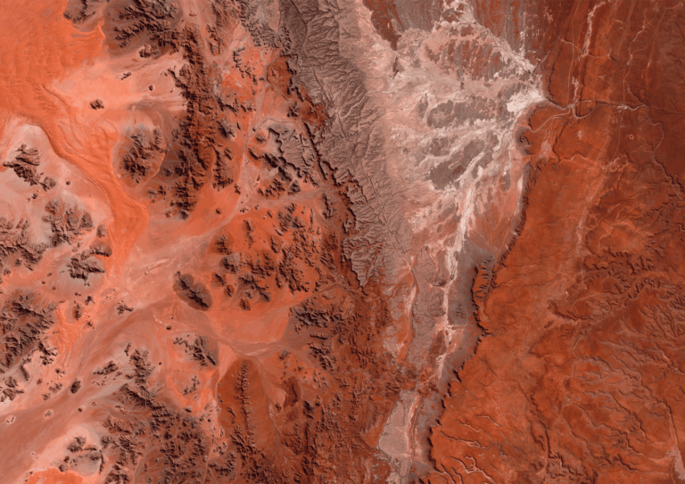
Satellite monitoring of the park through the years
Advantages of Satellite Monitoring in solar park projects
- Site selection: Satellite images provide detailed information about the terrain, allowing the identification of the best location for the plant, considering factors such as solar exposure and topography.
- Construction process monitoring: Remote supervision through satellite images allows for continuous tracking of construction stages, from land clearing to solar panel installation.
- Project evolution: Throughout the various phases of construction, GEOSAT can provide comparative images showing how the plant has evolved. These images (from August 2021 to May 2024) clearly illustrate the growth and progress of the photovoltaic park, allowing for continuous progress review.
- Civil works review: With satellite monitoring, it is possible to verify that civil works (such as infrastructure and access construction) match the original plans, ensuring the project stays within established parameters and complies with regulations.
Benefits of Satellite Monitoring for companies
- Cost savings: By eliminating the need for site visits and on-site inspections, the cost of supervision is significantly reduced.
- Improved operational efficiency: Satellite images allow for quick and accurate decision-making, improving project management.
- Access to Near Real Time data: GEOSAT provides satellite images with delivery within 20 minutes after capture, enabling companies to efficiently monitor the project in quasi-real time.


This vector in red shows the evolution of the solar panels already installed
Enhanced monitoring with GEOSAT’s Super Resolution technology
Thanks to the use of open-source imagery, it is possible to independently monitor projects with high frequency. At GEOSAT, we enhance this capability through our proprietary Super Resolution technology, which improves the open-source native resolution from 10 meters to 2.5 meters, a fourfold increase in detail. This enables the detection of significant changes across the site. When such changes are identified, it is possible to task GEOSAT-2 to acquire a Very High-Resolution image, up to 40 cm, offering detailed insight into the detected variation without the need for on-site inspections.


Open-source imagery enhanced with GEOSAT Super Resolution: before and after construction.
The future of Renewable Energy and Satellite Monitoring
The Francisco Pizarro Photovoltaic Plant is a prime example of how renewable energy can be implemented on a large scale to reduce environmental impact and contribute to a more sustainable future. Satellite monitoring can play a key role in optimizing the project, providing energy sector stakeholders with a valuable tool to manage and oversee large installations efficiently, accurately, and economically.
If you’re interested in learning more about how satellite monitoring can optimize renewable energy projects, we invite you to discover GEOSAT’s services in the energy sector and get in touch with us. We’re here to help you power your project with the latest satellite image technology!
Thanks to our own satellites, together with our partners, we deliver high quality imagery and analytics for high impact insights which result in improved decision making.